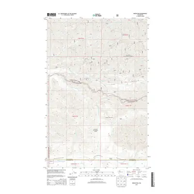
2014 Map of Indian Pass
USGS Topo · Published 2014About this map
Olympic National Park and Olympic National Forest dominate this 2014 survey of the high wilderness where the Clallam and Jefferson County line divides the landscape. The drainage patterns of the Sitkum River and the South Fork Calawah River define the interior, where elevation changes are marked by Rugged Ridge and the Olympic Mountains. This map is particularly valuable for tracing remote backcountry infrastructure, showing the path of the Pacific NW National Scenic Trail as it follows the Bogachiel River. Hikers and researchers can identify the exact placement of historic trail waypoints like the Sitkum Shelter, Calawah Shelter, and Bogachiel Shelter. The northern reaches include Hyas Lookout and a dense network of tributaries including Hyas Cr and Fahnestock Cr, illustrating the complex hydrology that feeds the region's major river systems.
Find a feature on this map
35 named features on this map. Tap any name to fly to it.
Don’t see what you’re looking for? This feature index may not catch every label — zoom into the map to look around manually.
Map Details
Editions of this 2014 Indian Pass Map
This is the sole edition of this map. No revisions or reprints were ever made.
Other maps of this area
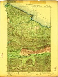
1922 · Pysht
USGS Topo · 1:62,500
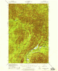
1935 · Lake Pleasant
USGS Topo · 1:62,500
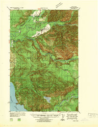
1939 · Forks
USGS Topo · 1:62,500
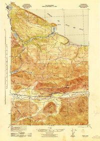
1942 · Pysht
USGS Topo · 1:62,500
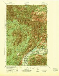
1942 · Lake Pleasant
USGS Topo · 1:62,500
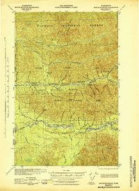
1943 · Spruce Mountain
USGS Topo · 1:62,500
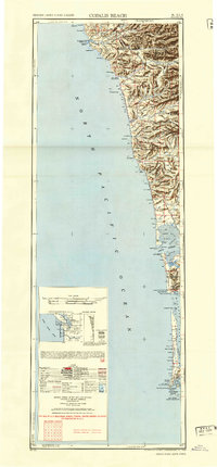
1943 · Copalis Beach
USGS Topo · 1:250,000
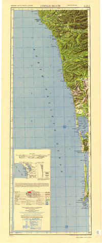
1951 · Copalis Beach
USGS Topo · 1:250,000
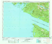
1953 · Cape Flattery
USGS Topo · 1:250,000
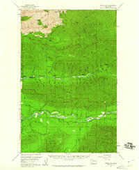
1956 · Spruce Mtn.
USGS Topo · 1:62,500