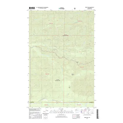
2017 Map of Indian Pass
USGS Topo · Published 2017About this map
The Olympic Mountains define this high-elevation landscape on the border of Clallam and Jefferson counties. Centered on Indian Pass, the terrain is dominated by protected wilderness within the Olympic National Park and Olympic National Forest. The map documents a complex drainage system where the Sitkum River and South Fork Calawah River carve deep into the northern slopes, while the Bogachiel River marks the southern boundary. Hikers and researchers can trace the path of the Pacific NW National Scenic Trail as it traverses the southern sector. Unlike many maps of this era, the area remains remarkably undeveloped, characterized primarily by forest service roads like Nat For Dev Rd 29 and named water features such as Indian Cr and Rugged Ridge.
Find a feature on this map
35 named features on this map. Tap any name to fly to it.
Don’t see what you’re looking for? This feature index may not catch every label — zoom into the map to look around manually.
Map Details
Editions of this 2017 Indian Pass Map
This is the sole edition of this map. No revisions or reprints were ever made.
Other maps of this area
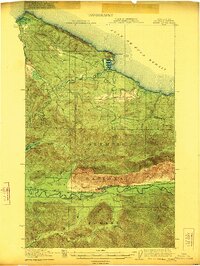
1922 · Pysht
USGS Topo · 1:62,500
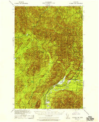
1935 · Lake Pleasant
USGS Topo · 1:62,500
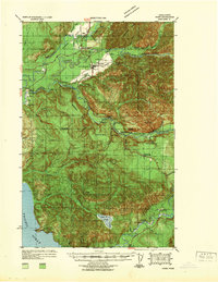
1939 · Forks
USGS Topo · 1:62,500
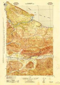
1942 · Pysht
USGS Topo · 1:62,500
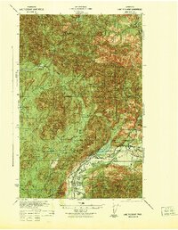
1942 · Lake Pleasant
USGS Topo · 1:62,500
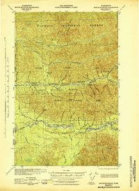
1943 · Spruce Mountain
USGS Topo · 1:62,500
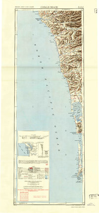
1943 · Copalis Beach
USGS Topo · 1:250,000
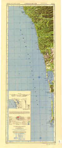
1951 · Copalis Beach
USGS Topo · 1:250,000
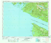
1953 · Cape Flattery
USGS Topo · 1:250,000
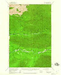
1956 · Spruce Mtn.
USGS Topo · 1:62,500