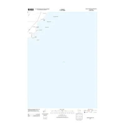
2013 Map of Indian Point
USGS Topo · Published 2013About this map
Lake Winnebago dominates this 2013 survey, which documents the western shoreline of Wisconsin's largest inland lake. The map focuses on a series of residential developments and points that extend into the water, including Indian Point and Perkins Point. The presence of the Osh-O-Nee Midway Boat Ramp and Island Park reflects the area's established role as a recreational gateway near the city of Oshkosh. The aquatic landscape is further detailed with navigational hazards and landforms such as Blackbird Island, Blackbird Reef, and Little Blackbird Reef. Shoreline roads like Indian Point Rd and Co Hwy A link these lakeside communities, illustrating a modern pattern of residential expansion along the waterfront where earlier agricultural or undeveloped lands met the basin's edge.
Find a feature on this map
18 named features on this map. Tap any name to fly to it.
Don’t see what you’re looking for? This feature index may not catch every label — zoom into the map to look around manually.
Map Details
Editions of this 2013 Indian Point Map
This is the sole edition of this map. No revisions or reprints were ever made.
Other maps of this area

1910 · Fond du Lac
USGS Topo · 1:62,500

1911 · Neenah
USGS Topo · 1:62,500

1955 · Neenah
USGS Topo · 1:62,500

1955 · Neenah
USGS Topo · 1:24,000

1955 · Fond Du Lac
USGS Topo · 1:62,500

1955 · Green Bay
USGS Topo · 1:250,000

1956 · Rosendale
USGS Topo · 1:62,500

1957 · Madison
USGS Topo · 1:250,000

1960 · Madison
USGS Topo · 1:250,000

1961 · Oshkosh
USGS Topo · 1:24,000