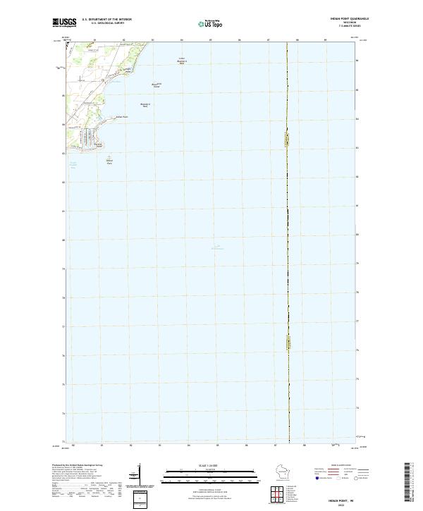
2022 Map of Indian Point
USGS Topo · Published 2022About this map
Lake Winnebago dominates this shoreline survey, defining the eastern border of Winnebago County at its boundary with Calumet County. The western shore is characterized by a series of prominent geographical features and residential developments. Indian Point and Perkins Point extend into the lake, creating protected waters such as Cowling Bay and North Asylum Bay. The mapping of these points, alongside Jenkyns Point, reveals the intricate natural contours of the Wisconsin coast. Further out in the water, hazards and landmarks like Blackbird Island, Blackbird Reef, and Little Blackbird Reef are carefully noted. This contemporary view shows the dense network of local roads, including Paines Point Road and County Road A, that serve the shoreline communities and the recreational area of Island Park.
Find a feature on this map
24 named features on this map. Tap any name to fly to it.
Don’t see what you’re looking for? This feature index may not catch every label — zoom into the map to look around manually.
Map Details
Editions of this 2022 Indian Point Map
This is the sole edition of this map. No revisions or reprints were ever made.
Other maps of this area

1910 · Fond du Lac
USGS Topo · 1:62,500

1911 · Neenah
USGS Topo · 1:62,500

1955 · Neenah
USGS Topo · 1:62,500

1955 · Neenah
USGS Topo · 1:24,000

1955 · Fond Du Lac
USGS Topo · 1:62,500

1955 · Green Bay
USGS Topo · 1:250,000

1956 · Rosendale
USGS Topo · 1:62,500

1957 · Madison
USGS Topo · 1:250,000

1960 · Madison
USGS Topo · 1:250,000

1961 · Oshkosh
USGS Topo · 1:24,000