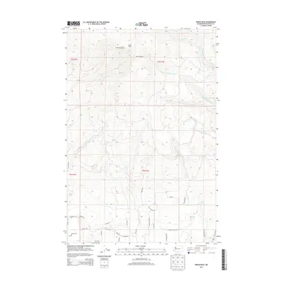
2013 Map of Indian Rock
USGS Topo · Published 2013About this map
Indian Rock and the high ridges of the Simcoe Mountains dominate this portion of the Washington landscape, defining a region where steep drainage basins meet a developing grid of timber and ranch access roads. The headwaters of the W Prong Little Klickitat River and Devils Canyon carve through the northern terrain, while the southern reaches show a distinctive concentration of residential and rural naming conventions. Roads such as Orchard Heights Rd, T and L Estates Rd, and several named after tree species—including Noble Fir, Tamarack, and Red Cedar—suggest a transition toward rural subdivisions and managed forest tracts. Unique water features like Morehead Spring and Pothole Lake provide critical reference points in an otherwise high-elevation wilderness area primarily used for forestry and watershed management.
Find a feature on this map
38 named features on this map. Tap any name to fly to it.
Don’t see what you’re looking for? This feature index may not catch every label — zoom into the map to look around manually.
Map Details
Editions of this 2013 Indian Rock Map
This is the sole edition of this map. No revisions or reprints were ever made.
Other maps of this area
1937 · White Swan
USGS Topo · 1:125,000

1950 · Yakima
USGS Topo · 1:250,000

1953 · The Dalles
USGS Topo · 1:250,000

1956 · The Dalles
USGS Topo · 1:250,000
1957 · The Dalles
USGS Topo · 1:250,000
1957 · Goldendale
USGS Topo · 1:62,500
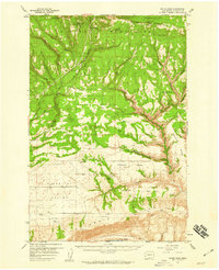
1957 · Satus Pass
USGS Topo · 1:62,500

1958 · Yakima
USGS Topo · 1:250,000
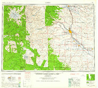
1961 · Yakima
USGS Topo · 1:250,000
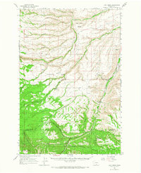
1965 · Logy Creek
USGS Topo · 1:62,500