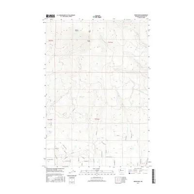
2017 Map of Indian Rock
USGS Topo · Published 2017About this map
The Simcoe Mountains define the high elevation of this region, culminating at the prominent peak of Indian Rock. This 2017 survey reveals a landscape of stark contrasts, where the northern terrain is deeply incised by Devils Canyon and the headwaters of the W Prong Little Klickitat River. Descending southward, the map documents a transition into a more developed rural grid, particularly evident around the numerous private drives and residential lanes such as W Ponderosa Dr and Goldenpine.
Find a feature on this map
40 named features on this map. Tap any name to fly to it.
Don’t see what you’re looking for? This feature index may not catch every label — zoom into the map to look around manually.
Map Details
Editions of this 2017 Indian Rock Map
This is the sole edition of this map. No revisions or reprints were ever made.
Other maps of this area
1937 · White Swan
USGS Topo · 1:125,000

1950 · Yakima
USGS Topo · 1:250,000

1953 · The Dalles
USGS Topo · 1:250,000

1956 · The Dalles
USGS Topo · 1:250,000
1957 · The Dalles
USGS Topo · 1:250,000
1957 · Goldendale
USGS Topo · 1:62,500
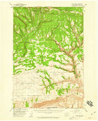
1957 · Satus Pass
USGS Topo · 1:62,500

1958 · Yakima
USGS Topo · 1:250,000
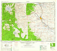
1961 · Yakima
USGS Topo · 1:250,000
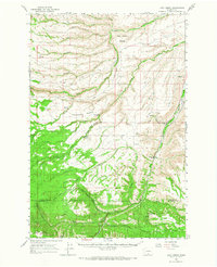
1965 · Logy Creek
USGS Topo · 1:62,500