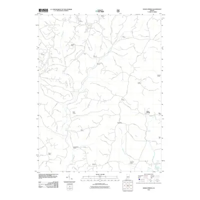
2010 Map of Indian Springs
USGS Topo · Published 2010About this map
Indian Springs serves as the focal point for this rural landscape in the early twenty-first century, characterized by a dense network of secondary roads and numerous family and community cemeteries. The terrain is defined by its drainages, where Boggs Creek and Turkey Creek carve through the land near landmarks like Gobbler Knob. For genealogists and local historians, the concentration of burial sites is significant, including the Boggs Creek Cemetery, Blankenship Cemetery, and Salem Cemetery.
Find a feature on this map
97 named features on this map. Tap any name to fly to it.
Don’t see what you’re looking for? This feature index may not catch every label — zoom into the map to look around manually.
Map Details
Editions of this 2010 Indian Springs Map
This is the sole edition of this map. No revisions or reprints were ever made.
Other maps of this area

1935 · Oolitic
USGS Topo · 1:48,000

1942 · Oolitic
USGS Topo · 1:62,500

1948 · Huron
USGS Topo · 1:24,000

1950 · Huron
USGS Topo · 1:24,000

1950 · Shoals
USGS Topo · 1:24,000

1950 · Odon
USGS Topo · 1:24,000

1956 · Loogootee
USGS Topo · 1:24,000

1956 · Koleen
USGS Topo · 1:24,000

1956 · Indian Springs
USGS Topo · 1:24,000

1956 · Vincennes
USGS Topo · 1:250,000