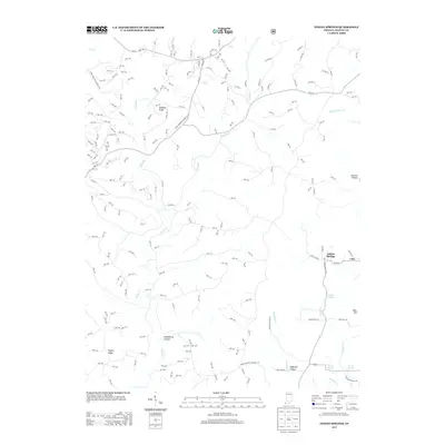
2013 Map of Indian Springs
USGS Topo · Published 2013About this map
Indian Springs and the surrounding Martin County countryside are defined by a complex drainage network where Boggs Cr and Turkey Cr carve through the local topography. This 2013 survey documents a landscape where traditional rural settlements like Cale and the mineral-water history of Sulphur Springs exist alongside modern military infrastructure. A significant portion of the northern and southern terrain is occupied by the Naval Weapons Support Ctr, showing the intersection of federal land use and the natural ridges of southern Indiana.
Find a feature on this map
205 named features on this map. Tap any name to fly to it.
Don’t see what you’re looking for? This feature index may not catch every label — zoom into the map to look around manually.
Map Details
Editions of this 2013 Indian Springs Map
This is the sole edition of this map. No revisions or reprints were ever made.
Other maps of this area

1935 · Oolitic
USGS Topo · 1:48,000

1942 · Oolitic
USGS Topo · 1:62,500

1948 · Huron
USGS Topo · 1:24,000

1950 · Huron
USGS Topo · 1:24,000

1950 · Shoals
USGS Topo · 1:24,000

1950 · Odon
USGS Topo · 1:24,000

1956 · Loogootee
USGS Topo · 1:24,000

1956 · Koleen
USGS Topo · 1:24,000

1956 · Indian Springs
USGS Topo · 1:24,000

1956 · Vincennes
USGS Topo · 1:250,000