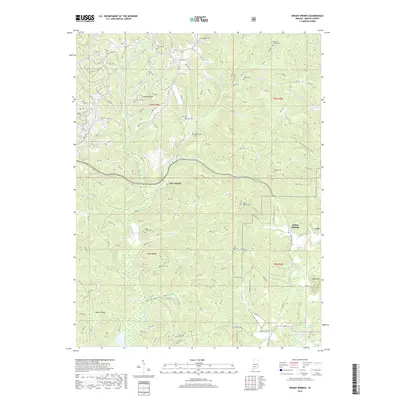
2019 Map of Indian Springs
USGS Topo · Published 2019About this map
Indian Springs and the small settlement of Cale anchor this Martin County landscape, characterized by a complex network of ridges and hollows such as Pigeon Ridge and Goldsberry Hollow. The terrain is deeply marked by the winding courses of Boggs Creek and Opossum Creek, which have shaped the settlement patterns and roadway alignments of the region. A notable institutional presence is defined by the NSA Crane boundary, which occupies a significant portion of the central township.
Find a feature on this map
154 named features on this map. Tap any name to fly to it.
Don’t see what you’re looking for? This feature index may not catch every label — zoom into the map to look around manually.
Map Details
Editions of this 2019 Indian Springs Map
This is the sole edition of this map. No revisions or reprints were ever made.
Other maps of this area

1935 · Oolitic
USGS Topo · 1:48,000

1942 · Oolitic
USGS Topo · 1:62,500

1948 · Huron
USGS Topo · 1:24,000

1950 · Huron
USGS Topo · 1:24,000

1950 · Shoals
USGS Topo · 1:24,000

1950 · Odon
USGS Topo · 1:24,000

1956 · Loogootee
USGS Topo · 1:24,000

1956 · Koleen
USGS Topo · 1:24,000

1956 · Indian Springs
USGS Topo · 1:24,000

1956 · Vincennes
USGS Topo · 1:250,000