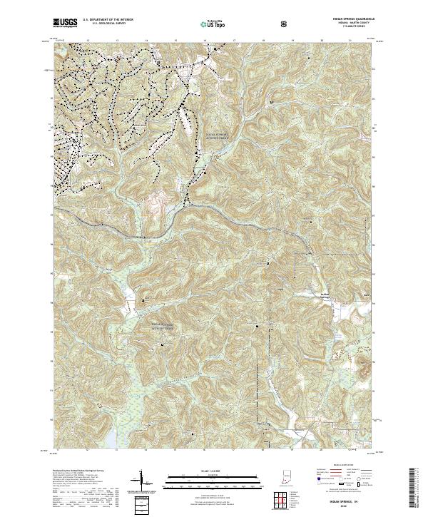
2022 Map of Indian Springs
USGS Topo · Published 2022About this map
Naval Support Activity Crane occupies a significant portion of this Martin County landscape, where military operations coexist with deep-rooted rural history. The terrain is defined by a series of narrow valleys and ridges, including Pigeon Ridge and Johnson Hollow, which have long dictated the placement of small communities and family burial grounds. The settlement of Indian Springs sits at a crossroads near the center of the sheet, while the southern reach of the quadrangle includes Trinity Springs and the secluded Cale. This geography preserves a high density of ancestral sites for genealogists, with numerous small cemeteries such as Boggs Creek Cem, Little Hickory Cem, and Wards Chapel Cem situated along the high ground above the winding courses of Boggs Creek and Turkey Cr. The presence of Sulphur Springs and Indian Creek further highlights the area's geological character and its historical reliance on natural water sources.
Find a feature on this map
156 named features on this map. Tap any name to fly to it.
Don’t see what you’re looking for? This feature index may not catch every label — zoom into the map to look around manually.
Map Details
Editions of this 2022 Indian Springs Map
This is the sole edition of this map. No revisions or reprints were ever made.
Other maps of this area

1935 · Oolitic
USGS Topo · 1:48,000

1942 · Oolitic
USGS Topo · 1:62,500

1948 · Huron
USGS Topo · 1:24,000

1950 · Huron
USGS Topo · 1:24,000

1950 · Shoals
USGS Topo · 1:24,000

1950 · Odon
USGS Topo · 1:24,000

1956 · Loogootee
USGS Topo · 1:24,000

1956 · Koleen
USGS Topo · 1:24,000

1956 · Indian Springs
USGS Topo · 1:24,000

1956 · Vincennes
USGS Topo · 1:250,000