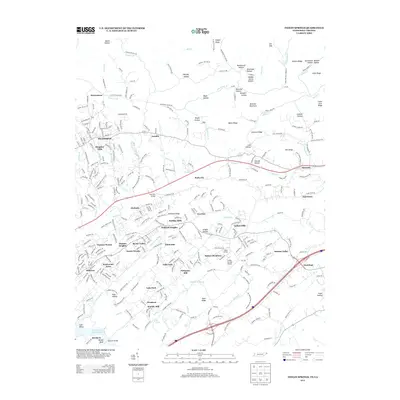
2013 Map of Indian Springs
USGS Topo · Published 2013About this map
Indian Springs serves as a central hub for a complex network of residential subdivisions and historical landforms in northeast Tennessee. The landscape is defined by the northeast-to-southwest orientation of its ridges and valleys, including Baker Ridge, Chestnut Ridge, and Browder Mountain. This topographical pattern has dictated the development of distinct communities like Bridwell Heights, Kingsley Hills, and Hobart Meadows.
Find a feature on this map
90 named features on this map. Tap any name to fly to it.
Don’t see what you’re looking for? This feature index may not catch every label — zoom into the map to look around manually.
Map Details
Editions of this 2013 Indian Springs Map
This is the sole edition of this map. No revisions or reprints were ever made.
Other maps of this area

1891 · Roan Mountain
USGS Topo · 1:125,000

1892 · Greeneville
USGS Topo · 1:125,000

1894 · Roan Mountain
USGS Topo · 1:125,000

1894 · Estillville
USGS Topo · 1:125,000

1896 · Greeneville
USGS Topo · 1:125,000

1897 · Bristol
USGS Topo · 1:125,000

1902 · Bristol
USGS Topo · 1:125,000

1904 · Roan Mountain
USGS Topo · 1:125,000

1904 · Greeneville
USGS Topo · 1:125,000

1935 · Hilton
USGS Topo · 1:24,000