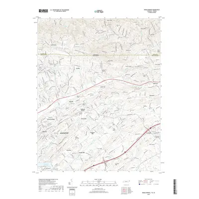
2019 Map of Indian Springs
USGS Topo · Published 2019About this map
Pettyjohn Mill and Huddle Mill sit at the center of this rural and suburban landscape northeast of Kingsport, where the Tennessee-Virginia border cuts across the northern ridges. The terrain is defined by a series of parallel heights including Chestnut Ridge, Baker Ridge, and Mullins Ridge, which dictate the flow of Reedy Creek and its many tributaries. The area shows a transition from the industrial outskirts of Kingsport to established small communities like Arcadia, Gunnings, and Ketrontown. Local spiritual and civic life is anchored by landmarks such as the Adams Chapel United Methodist Church and the Indian Springs Airport. To the southwest, the waters of Fort Patrick Henry Lake meet the mouth of Fall Creek, marking the edge of the river-driven economy that has long shaped Sullivan County.
Find a feature on this map
214 named features on this map. Tap any name to fly to it.
Don’t see what you’re looking for? This feature index may not catch every label — zoom into the map to look around manually.
Map Details
Editions of this 2019 Indian Springs Map
This is the sole edition of this map. No revisions or reprints were ever made.
Other maps of this area

1891 · Roan Mountain
USGS Topo · 1:125,000

1892 · Greeneville
USGS Topo · 1:125,000

1894 · Roan Mountain
USGS Topo · 1:125,000

1894 · Estillville
USGS Topo · 1:125,000

1896 · Greeneville
USGS Topo · 1:125,000

1897 · Bristol
USGS Topo · 1:125,000

1902 · Bristol
USGS Topo · 1:125,000

1904 · Roan Mountain
USGS Topo · 1:125,000

1904 · Greeneville
USGS Topo · 1:125,000

1935 · Hilton
USGS Topo · 1:24,000