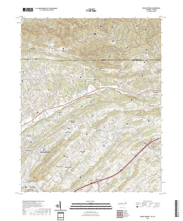
2022 Map of Indian Springs
USGS Topo · Published 2022About this map
Kingsport anchor the southwestern landscape of this region, where the urban expansion of the city meets the established rural communities of Arcadia and Sunnyside. The terrain is defined by a series of parallel ridges, including Baker Ridge and Chestnut Ridge, which channel local watercourses like Reedy Cr and Fall Cr through the valleys. This area is particularly dense with small-scale family and community landmarks, evidenced by the numerous burial grounds such as Hickam Cem, Gunnings Cem, and Odd Fellow Cem.
Find a feature on this map
100 named features on this map. Tap any name to fly to it.
Don’t see what you’re looking for? This feature index may not catch every label — zoom into the map to look around manually.
Map Details
Editions of this 2022 Indian Springs Map
This is the sole edition of this map. No revisions or reprints were ever made.
Other maps of this area

1891 · Roan Mountain
USGS Topo · 1:125,000

1892 · Greeneville
USGS Topo · 1:125,000

1894 · Roan Mountain
USGS Topo · 1:125,000

1894 · Estillville
USGS Topo · 1:125,000

1896 · Greeneville
USGS Topo · 1:125,000

1897 · Bristol
USGS Topo · 1:125,000

1902 · Bristol
USGS Topo · 1:125,000

1904 · Roan Mountain
USGS Topo · 1:125,000

1904 · Greeneville
USGS Topo · 1:125,000

1935 · Hilton
USGS Topo · 1:24,000