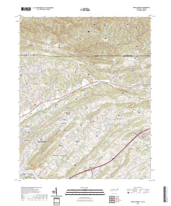
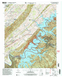
2022 Map of Indian Springs
USGS Topo · Published 2022About this map
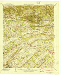
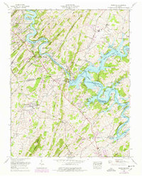
Kingsport anchor the southwestern landscape of this region, where the urban expansion of the city meets the established rural communities of Arcadia and Sunnyside. The terrain is defined by a series of parallel ridges, including Baker Ridge and Chestnut Ridge, which channel local watercourses like Reedy Cr and Fall Cr through the valleys. This area is particularly dense with small-scale family and community landmarks, evidenced by the numerous burial grounds such as Hickam Cem, Gunnings Cem, and Odd Fellow Cem.
Find a feature on this map
100 named features on this map. Tap any name to fly to it.
Don’t see what you’re looking for? This feature index may not catch every label — zoom into the map to look around manually.
Map Details
Editions of this 2022 Indian Springs Map
This is the sole edition of this map. No revisions or reprints were ever made.
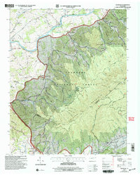
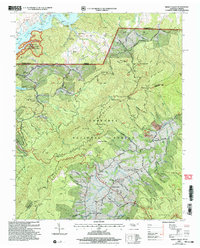
Historical Maps of Indian Hills Through Time
22 maps found

1934 Holston Valley
Sullivan County, TN
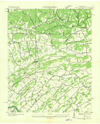
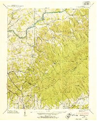
1935 Indian Springs
Sullivan County, TN
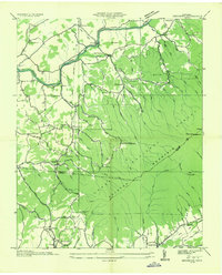
1935 Keenburg
Sullivan County, TN
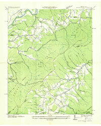
1935 Shady Valley
Sullivan County, TN

1938 Holston Valley
Sullivan County, TN
1938 Keenburg
Sullivan County, TN
1938 Shady Valley
Sullivan County, TN
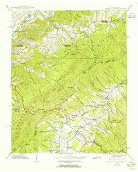
1939 Indian Springs
Sullivan County, TN
1940 Indian Springs
Sullivan County, TN
1959 Boone Dam
Sullivan County, TN
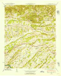
1959 Indian Springs
Sullivan County, TN

1960 Holston Valley
Sullivan County, TN
1960 Keenburg
Sullivan County, TN
1960 Shady Valley
Sullivan County, TN
2003 Holston Valley
Sullivan County, TN
2003 Keenburg
Sullivan County, TN
2003 Shady Valley
Sullivan County, TN
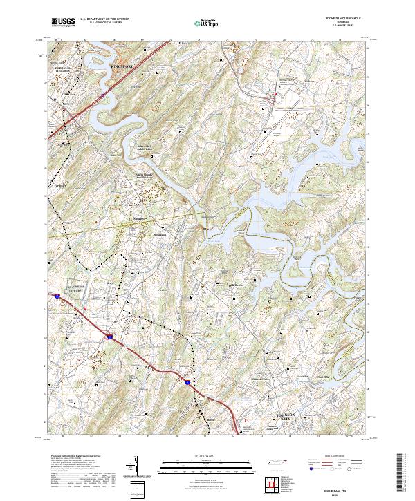
2022 Boone Dam
Sullivan County, TN
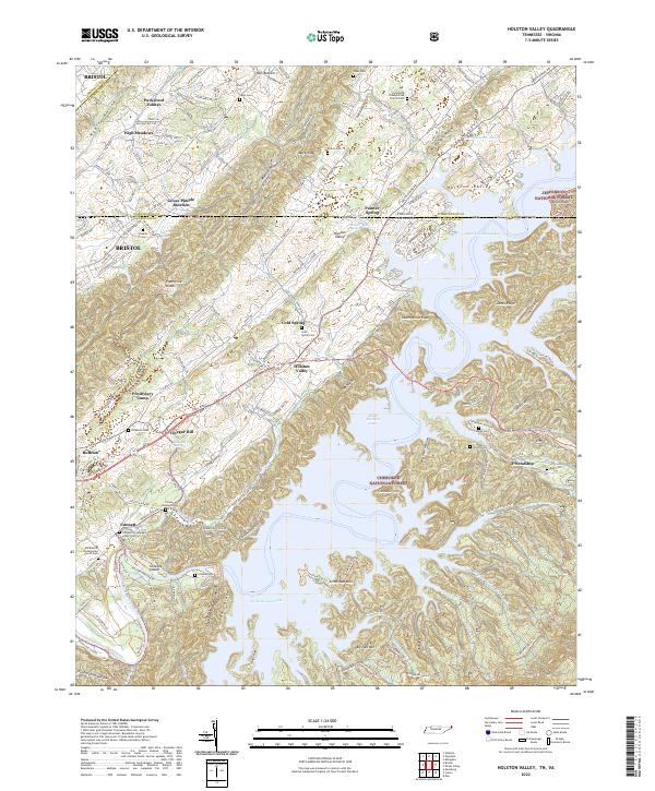
2022 Holston Valley
Sullivan County, TN
2022 Indian Springs
Sullivan County, TN
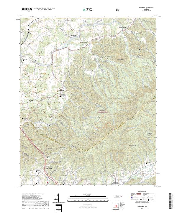
2022 Keenburg
Sullivan County, TN
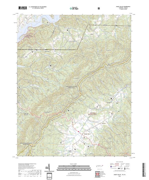
2022 Shady Valley
Sullivan County, TN