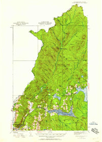
1926 Map of Indian Stream
USGS Topo · Published 1958About this map
The northernmost reaches of Coos County, New Hampshire, are defined by the convergence of the Connecticut River and the international boundary at the mid-1920s. This survey records a remote landscape of timber and early recreation just before the landscape was altered by hydroelectric developments. The topography centers on the settlement of Pittsburg, where the Lake Francis reservoir area is shown alongside the First Connecticut Lake.
Find a feature on this map
72 named features on this map. Tap any name to fly to it.
Don’t see what you’re looking for? This feature index may not catch every label — zoom into the map to look around manually.
Map Details
Editions of this 1926 Indian Stream Map
4 editions found
Other maps of this area

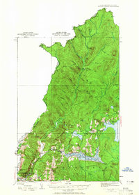
1925 · Indian Stream
USGS Topo · 1:48,000

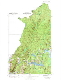
1926 · Indian Stream
USGS Topo · 1:62,500

1927 · Indian Stream
USGS Topo · 1:62,500

1927 · Moose Bog
USGS Topo · 1:48,000

1927 · Second Lake
USGS Topo · 1:62,500

1929 · Averill
USGS Topo · 1:62,500

1930 · Dixville
USGS Topo · 1:62,500

1930 · Errol
USGS Topo · 1:62,500

1931 · Moose Bog
USGS Topo · 1:62,500

1932 · Second Lake
USGS Topo · 1:62,500