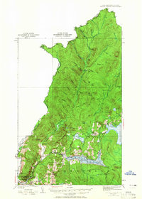
1926 Map of Indian Stream
USGS Topo · Published 1965About this map
Indian Stream flows south through the northernmost reaches of New Hampshire, defining a landscape of timber camps and isolated mountain settlements before joining the Connecticut River. This 1920s survey depicts the transition from the wild northern forests, dotted with remote outposts like Greeley Camp and Depot Camp, to the developing river valley around Pittsburg and Beecher Falls. The geography is defined by a dense network of one-room schoolhouses, including the Wheeler School, Indian Stream School, and Stanton School, serving families scattered among the ridges. Significant local landmarks like the Kim Day Dam and the Clarksville Town Hall appear alongside the expansive Lake Francis, which dominates the southern portion of the quadrangle. The map documents the intricate drainage patterns of the Halls Stream and Cedar Stream basins along the international border with Canada.
Find a feature on this map
103 named features on this map. Tap any name to fly to it.
Don’t see what you’re looking for? This feature index may not catch every label — zoom into the map to look around manually.
Map Details
Editions of this 1926 Indian Stream Map
4 editions found
Other maps of this area

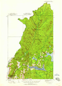
1925 · Indian Stream
USGS Topo · 1:48,000

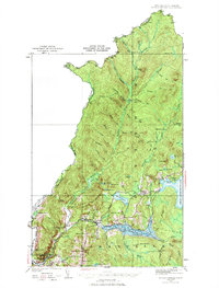
1926 · Indian Stream
USGS Topo · 1:62,500

1927 · Indian Stream
USGS Topo · 1:62,500

1927 · Moose Bog
USGS Topo · 1:48,000

1927 · Second Lake
USGS Topo · 1:62,500

1929 · Averill
USGS Topo · 1:62,500

1930 · Dixville
USGS Topo · 1:62,500

1930 · Errol
USGS Topo · 1:62,500

1931 · Moose Bog
USGS Topo · 1:62,500

1932 · Second Lake
USGS Topo · 1:62,500