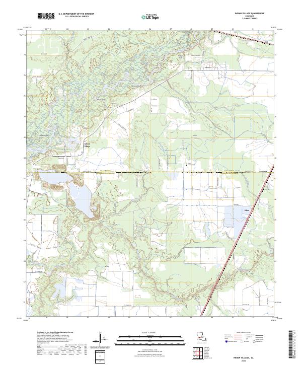
2024 Map of Indian Village
USGS Topo · Published 2024About this map
Calcasieu River meanders through the northern reaches of this landscape, carving out prominent landmarks like Nevils Bluff, Lormand Bluff, and Phillips Bluff. The surrounding terrain transitions from the river bottomlands to the agricultural fields and rural homesteads of southwestern Louisiana. The settlement of Indian Village sits near the riverbanks, served by a network of local routes including Nevils Bluff Rd and Old Ferry Rd, which suggest the historic crossing points that once connected these isolated communities.
Find a feature on this map
52 named features on this map. Tap any name to fly to it.
Don’t see what you’re looking for? This feature index may not catch every label — zoom into the map to look around manually.
Map Details
Editions of this 2024 Indian Village Map
This is the sole edition of this map. No revisions or reprints were ever made.
Other maps of this area

1947 · Kinder
USGS Topo · 1:31,680

1947 · Fenton
USGS Topo · 1:31,680

1947 · Oberlin
USGS Topo · 1:31,680

1947 · Hecker
USGS Topo · 1:31,680

1947 · Pine Island
USGS Topo · 1:31,680

1947 · Le Blanc
USGS Topo · 1:31,680

1947 · Edna
USGS Topo · 1:31,680

1947 · Reeves
USGS Topo · 1:31,680

1947 · Thompson Bluff
USGS Topo · 1:31,680

1950 · Fenton
USGS Topo · 1:31,680