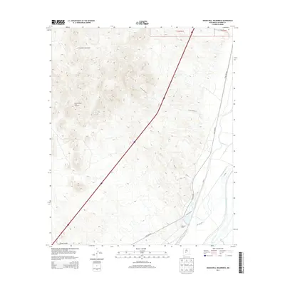
2013 Map of Indian Well Wilderness
USGS Topo · Published 2013About this map
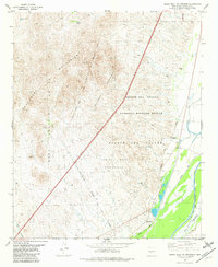
The Chupadera Mountains dominate the western horizon of this Socorro County landscape, where the high desert terrain meets the managed water systems of the Rio Grande valley. To the east, the Pedro Armendariz Grant Number 34 marks a significant historical land division, while irrigation infrastructure like the Elmendorf Ditch and San Antonio Ditch illustrates the vital role of water management in this arid region.
Find a feature on this map
15 named features on this map. Tap any name to fly to it.
Don’t see what you’re looking for? This feature index may not catch every label — zoom into the map to look around manually.
Map Details
Editions of this 2013 Indian Well Wilderness Map
This is the sole edition of this map. No revisions or reprints were ever made.
Other maps of this area
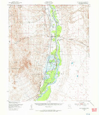
1948 · San Antonio
USGS Topo · 1:62,500
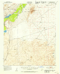
1948 · Val Verde
USGS Topo · 1:62,500

1954 · Tularosa
USGS Topo · 1:250,000

1958 · Tularosa
USGS Topo · 1:250,000
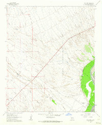
1961 · Fort Craig
USGS Topo · 1:24,000
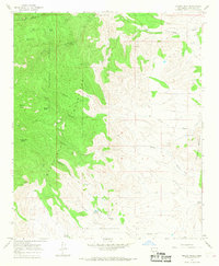
1965 · Molino Peak
USGS Topo · 1:24,000
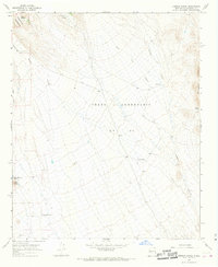
1965 · Cienega Ranch
USGS Topo · 1:24,000
1979 · San Mateo Mountains
USGS Topo · 1:100,000
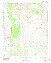
1981 · San Antonio
USGS Topo · 1:24,000
1981 · Indian Well Wilderness
USGS Topo · 1:24,000