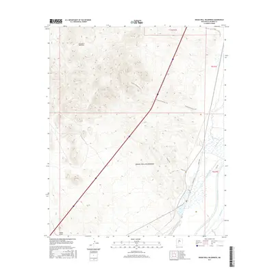
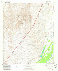
2017 Map of Indian Well Wilderness
USGS Topo · Published 2017About this map
The Chupadera Mountains dominate the western horizon of this desert landscape, where the rugged topography transitions into the managed wetlands of the Indian Well Wilderness. Along the eastern edge, the Rio Grande is flanked by an intricate network of irrigation and drainage infrastructure, including the San Antonio Ditch and Elmendorf Ditch. These man-made channels parallel the river, supporting the local environment alongside natural features like the Rio Viejo. A series of recreational and interpretive paths, such as the Chupadera Wilderness Trail, Canyon Trail, and Marsh Overlook Trail, wind through the area, offering access to the diverse terrain between the peaks and the river bottom. Further south, the landscape is carved by seasonal drainage features like Tiffany Canyon and the Torreon Arroyo, which illustrate the arid erosional patterns characteristic of this part of Socorro County.
Find a feature on this map
15 named features on this map. Tap any name to fly to it.
Don’t see what you’re looking for? This feature index may not catch every label — zoom into the map to look around manually.
Map Details
Editions of this 2017 Indian Well Wilderness Map
This is the sole edition of this map. No revisions or reprints were ever made.
Other maps of this area
1948 · San Antonio
USGS Topo · 1:62,500
1948 · Val Verde
USGS Topo · 1:62,500

1954 · Tularosa
USGS Topo · 1:250,000

1958 · Tularosa
USGS Topo · 1:250,000
1961 · Fort Craig
USGS Topo · 1:24,000
1965 · Molino Peak
USGS Topo · 1:24,000
1965 · Cienega Ranch
USGS Topo · 1:24,000
1979 · San Mateo Mountains
USGS Topo · 1:100,000
1981 · San Antonio
USGS Topo · 1:24,000
1981 · Indian Well Wilderness
USGS Topo · 1:24,000