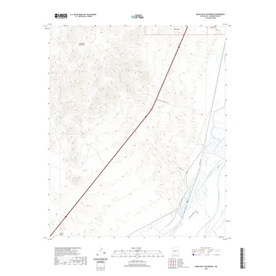
2020 Map of Indian Well Wilderness
USGS Topo · Published 2020About this map
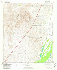
The Chupadera Mountains dominate the western landscape of this Socorro County region, where the terrain drops sharply toward the river valley to the east. The Rio Grande corridor is a complex network of historic water management, featuring the Elmendorf Ditch, San Antonio Ditch, and the winding Rio Viejo. This area serves as a critical riparian environment, evidenced by the numerous specialized paths such as the Marsh Overlook Trail and Lagoon Trail.
Find a feature on this map
14 named features on this map. Tap any name to fly to it.
Don’t see what you’re looking for? This feature index may not catch every label — zoom into the map to look around manually.
Map Details
Editions of this 2020 Indian Well Wilderness Map
This is the sole edition of this map. No revisions or reprints were ever made.
Other maps of this area
1948 · San Antonio
USGS Topo · 1:62,500
1948 · Val Verde
USGS Topo · 1:62,500

1954 · Tularosa
USGS Topo · 1:250,000

1958 · Tularosa
USGS Topo · 1:250,000
1961 · Fort Craig
USGS Topo · 1:24,000
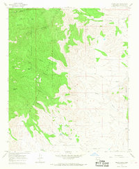
1965 · Molino Peak
USGS Topo · 1:24,000
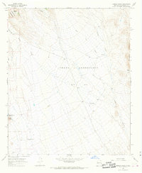
1965 · Cienega Ranch
USGS Topo · 1:24,000
1979 · San Mateo Mountains
USGS Topo · 1:100,000
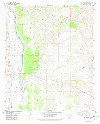
1981 · San Antonio
USGS Topo · 1:24,000
1981 · Indian Well Wilderness
USGS Topo · 1:24,000