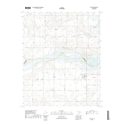
2018 Map of Indianola
USGS Topo · Published 2018About this map
Indianola stands as the central settlement in this portion of Oklahoma, where the landscape transitions from the flats of Choate Prairie toward the high ground of Bald Mountain. The geography is defined by the sweeping course of the Canadian River and its expansion into Eufaula Lake, creating a complex shoreline that shapes local travel along Choate Prairie Rd and Pecan Rd. Evidence of the area's early families and pioneer heritage is found at Hillabee Cem to the north and Choate Prairie Cem to the southwest, situated near the headwaters of Rock Creek. The map documents a rural community connected by a grid of section-line roads, such as Lone Oak Rd and Wildcat Rd, which navigate the drainages of Mill Creek and the surrounding timbered uplands.
Find a feature on this map
34 named features on this map. Tap any name to fly to it.
Don’t see what you’re looking for? This feature index may not catch every label — zoom into the map to look around manually.
Map Details
Editions of this 2018 Indianola Map
This is the sole edition of this map. No revisions or reprints were ever made.
Other maps of this area
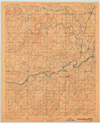
1900 · Canadian
USGS Topo · 1:125,000
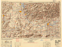
1946 · Fort Smith
USGS Topo · 1:250,000
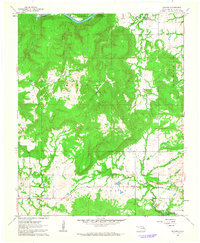
1962 · Raiford
USGS Topo · 1:24,000
1962 · Henryetta SW
USGS Topo · 1:24,000
1963 · Stidham
USGS Topo · 1:24,000
1965 · Fort Smith
USGS Topo · 1:250,000
1967 · Fort Smith
USGS Topo · 1:250,000
1971 · Crowder
USGS Topo · 1:24,000
1971 · Canadian
USGS Topo · 1:24,000
1971 · Lake Mc Alester
USGS Topo · 1:24,000