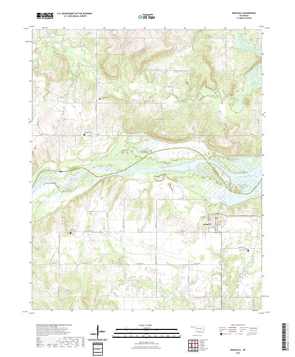
2022 Map of Indianola
USGS Topo · Published 2022About this map
Indianola serves as the primary hub in this corner of Oklahoma, situated just south of the expansive Eufaula Lake. This 2022 survey reveals a landscape where modern road networks like Lone Oak Rd and N4030 Rd overlay a deep history of rural settlement and agriculture. The terrain is defined by the Canadian River valley and the broad expanse of Choate Prairie, which stretches across the center of the sheet. Genealogists and local historians will find significant value in the distribution of family and community burial sites, including Indianola Cem, Hillabee Cem, and Bearhead Cem. The drainage pattern is intricate, with Mill Creek, Flat Rock Creek, and Bald Mountain Cr carving through the prairie toward the larger river system, illustrating the enduring relationship between the topography and the county boundaries of McIntosh and Pittsburg counties.
Find a feature on this map
54 named features on this map. Tap any name to fly to it.
Don’t see what you’re looking for? This feature index may not catch every label — zoom into the map to look around manually.
Map Details
Editions of this 2022 Indianola Map
This is the sole edition of this map. No revisions or reprints were ever made.
Other maps of this area

1900 · Canadian
USGS Topo · 1:125,000

1946 · Fort Smith
USGS Topo · 1:250,000

1962 · Raiford
USGS Topo · 1:24,000

1962 · Henryetta SW
USGS Topo · 1:24,000

1963 · Stidham
USGS Topo · 1:24,000

1965 · Fort Smith
USGS Topo · 1:250,000

1967 · Fort Smith
USGS Topo · 1:250,000
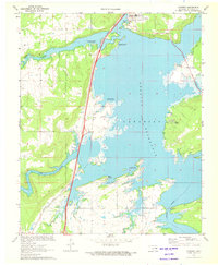
1971 · Crowder
USGS Topo · 1:24,000
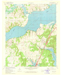
1971 · Canadian
USGS Topo · 1:24,000
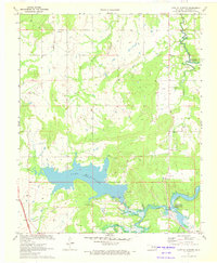
1971 · Lake Mc Alester
USGS Topo · 1:24,000