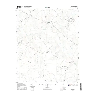
2014 Map of Indiantown
USGS Topo · Published 2014About this map
The blackwater systems of Black Mingo Cr and Indiantown Swamp define this portion of Williamsburg County, where small agricultural settlements are connected by a web of rural roads. The community of Stuckey sits in the northeast corner, positioned near the Hemingway-Stuckey Airport, while Indiantown occupies the central crossroads. The landscape is a complex mosaic of wetlands and timbered bays, including Paisley Swamp and Pine Island Bay, which have long shaped the local economy and land-use patterns. Genealogists can find the Nesmith Cem located near the settlement of Nesmith in the southeast. A network of family-named roads and rural routes like Nesmith Rd and Hemingway Hwy trace the historical movement between these isolated Lowcountry hamlets, providing a clear view of the area's twentieth-century development.
Find a feature on this map
83 named features on this map. Tap any name to fly to it.
Don’t see what you’re looking for? This feature index may not catch every label — zoom into the map to look around manually.
Map Details
Editions of this 2014 Indiantown Map
This is the sole edition of this map. No revisions or reprints were ever made.
Other maps of this area
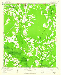
1943 · Henry
USGS Topo · 1:24,000
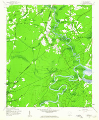
1943 · Rhems
USGS Topo · 1:24,000
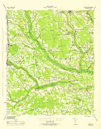
1946 · Hyman
USGS Topo · 1:62,500
1946 · Johnsonville
USGS Topo · 1:62,500
1946 · Indiantown
USGS Topo · 1:62,500
1949 · Georgetown
USGS Topo · 1:250,000
1967 · Georgetown
USGS Topo · 1:250,000
1974 · Georgetown
USGS Topo · 1:250,000
1986 · Kingstree
USGS Topo · 1:100,000
1990 · Lake City East
USGS Topo · 1:24,000