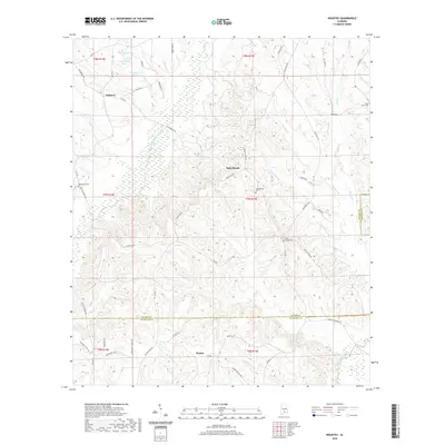
2020 Map of Industry
USGS Topo · Published 2020About this map
Oaky Streak and Industry anchor a landscape defined by creek drainages and small family ponds in south-central Alabama. This survey captures the rural character along the border of Butler, Covington, and Crenshaw Counties. The terrain is intricately dissected by Pigeon Cr, Oaky Woods Cr, and Patsaliga Creek, which drain toward the south. Local history is etched into the land through numerous small burial grounds including Macedonia Cem, Consolation Cem, and the Oaky Streak Cem. For researchers of Alabama's Wiregrass region, the map details a network of named local roads such as Cook Bridge Rd and Halso Mill Rd that connect isolated settlements and agrarian homesteads. Water features like Wyrosdick Pond and Nall Pond indicate the historical importance of local water management in this heavily wooded and agricultural territory.
Find a feature on this map
59 named features on this map. Tap any name to fly to it.
Don’t see what you’re looking for? This feature index may not catch every label — zoom into the map to look around manually.
Map Details
Editions of this 2020 Industry Map
This is the sole edition of this map. No revisions or reprints were ever made.
Other maps of this area

1953 · Andalusia
USGS Topo · 1:250,000

1957 · Andalusia
USGS Topo · 1:250,000

1971 · Brooks
USGS Topo · 1:24,000

1971 · Industry
USGS Topo · 1:24,000

1971 · Pigeon Creek
USGS Topo · 1:24,000

1971 · Mc Kenzie
USGS Topo · 1:24,000

1971 · Gantt
USGS Topo · 1:24,000

1971 · Leon
USGS Topo · 1:24,000

1971 · Red Level
USGS Topo · 1:24,000

1971 · Moodys Crossroads
USGS Topo · 1:24,000