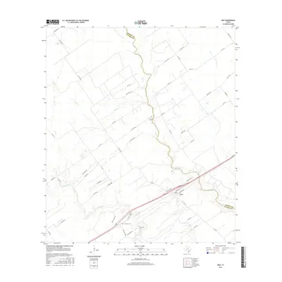
2016 Map of Inez
USGS Topo · Published 2016About this map
Arenosa Cr carves a winding path through the coastal plains of Southeast Texas, defining much of the border between Jackson and Victoria counties. The unincorporated settlement of Inez serves as a local hub, situated near the intersection of modern transportation corridors and older rural routes. This 2016 survey illustrates a landscape primarily shaped by cattle ranching and agriculture, with large land tracts accessed via roads like J-2 Ranch Rd and Kolle Rd. For those researching local history, several small burial grounds are documented, including Bischoff Cem, Farrer Cem, and Hirchhauser Cem, which provide essential points of reference for the families who settled this area between Garcitas Cr and Leona Cr.
Find a feature on this map
47 named features on this map. Tap any name to fly to it.
Don’t see what you’re looking for? This feature index may not catch every label — zoom into the map to look around manually.
Map Details
Editions of this 2016 Inez Map
This is the sole edition of this map. No revisions or reprints were ever made.
Other maps of this area
1951 · Inez NW
USGS Topo · 1:24,000
1951 · Inez
USGS Topo · 1:24,000
1952 · Edna
USGS Topo · 1:24,000
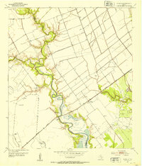
1952 · La Salle
USGS Topo · 1:24,000
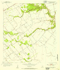
1952 · Marcado Creek
USGS Topo · 1:24,000
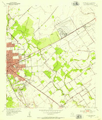
1952 · Victoria East
USGS Topo · 1:24,000

1953 · Beeville
USGS Topo · 1:250,000

1953 · Seguin
USGS Topo · 1:250,000

1956 · Beeville
USGS Topo · 1:250,000

1958 · Seguin
USGS Topo · 1:250,000