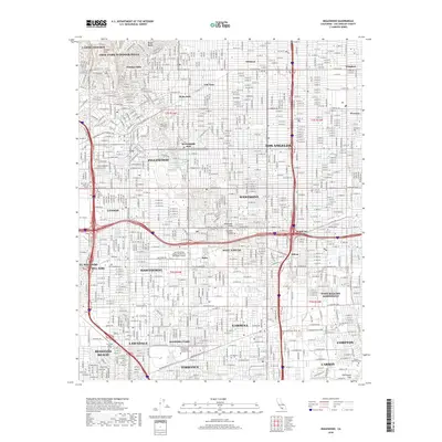
1924 Map of Inglewood
USGS Topo · Published 1924About this map
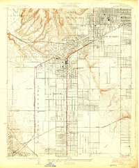
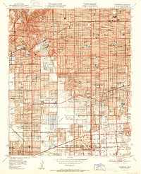
Inglewood emerges as a developing urban hub in this 1923 survey, centered on a grid of streets and the Pacific Electric rail lines. The landscape north of the town is defined by the steep contours of Cienega O Paso De La Tijera and Aguaje De La Centinela, contrasting with the industrial developments to the southwest. Here, the Standard Oil Company and General Chemical Co reflect the region's burgeoning petroleum and industrial character near El Segundo.
Find a feature on this map
34 named features on this map. Tap any name to fly to it.
Don’t see what you’re looking for? This feature index may not catch every label — zoom into the map to look around manually.
Map Details
Editions of this 1924 Inglewood Map
This is the sole edition of this map. No revisions or reprints were ever made.
Historical Maps of Los Angeles Through Time
10 maps found
1924 Inglewood
Los Angeles County, CA
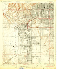
1930 Inglewood
Los Angeles County, CA
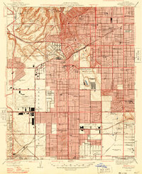
1948 Inglewood
Los Angeles County, CA
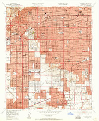
1950 Inglewood
Los Angeles County, CA
1952 Inglewood
Los Angeles County, CA
1964 Inglewood
Los Angeles County, CA
2012 Inglewood
Los Angeles County, CA
2015 Inglewood
Los Angeles County, CA
2018 Inglewood
Los Angeles County, CA
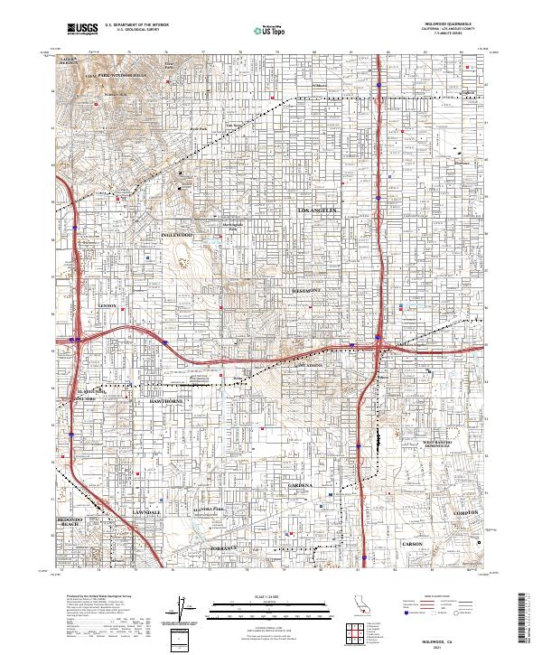
2021 Inglewood
Los Angeles County, CA