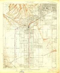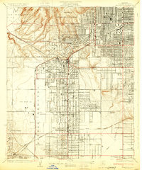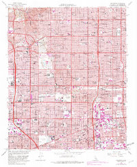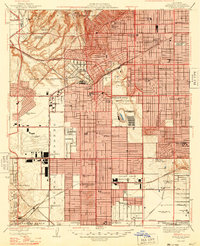
1948 Map of Inglewood
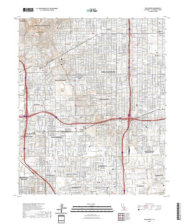
USGS Topo · Published 1948About this map
North American Aviation, Douglas Aircraft, and Northrop Aircraft facilities dominate the landscape of the South Bay in the late 1940s, highlighting the region's emergence as a global center for aerospace manufacturing. The map documents the rapid suburban transformation of Inglewood and Hawthorne as housing tracts fill the spaces between established landmarks like the Inglewood Park Cemetery and Hollywood Park. Significant transit arteries such as the Pacific Electric railway and the Atchison Topeka and Santa Fe Railroad intersect the growing grid, while the Los Angeles Airport appears in a much earlier configuration compared to its modern footprint. From the Baldwin Hills in the north to the edge of Manhattan Beach, the sheet captures a critical moment of postwar industrial expansion and residential growth.
Find a feature on this map
75 named features on this map. Tap any name to fly to it.
Don’t see what you’re looking for? This feature index may not catch every label — zoom into the map to look around manually.
Map Details
Editions of this 1948 Inglewood Map
This is the sole edition of this map. No revisions or reprints were ever made.
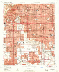
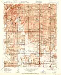
Historical Maps of Tree Section Through Time
7 maps found