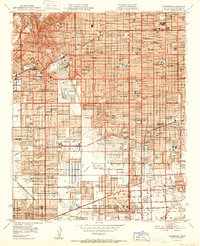
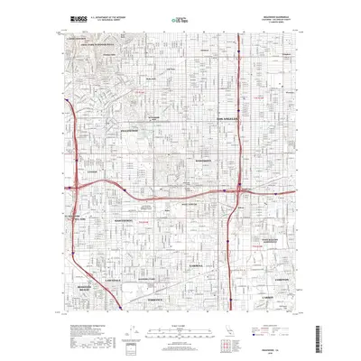
1950 Map of Inglewood
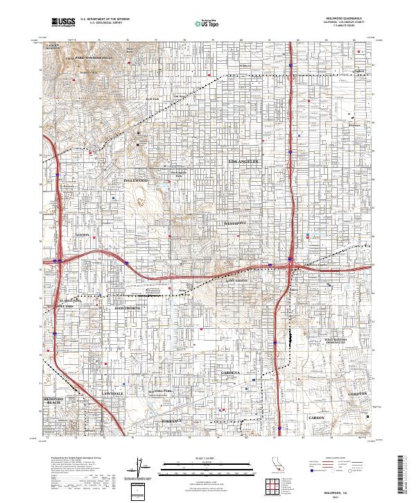
USGS Topo · Published 1957About this map
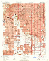
Baldwin Hills stands as a prominent natural anchor in the northwest, overlooking a rapidly urbanizing corridor of the Los Angeles basin during the post-war era. This mid-century landscape is defined by the coexistence of residential expansion and heavy industry, evidenced by the numerous Oil Wells and Oil Sump locations scattered across the terrain. Major transit corridors such as the Atchison Topeka and Santa Fe and Pacific Electric railroads facilitate movement between growing communities like Hawthorne, Lawndale, and Gardena. The map reveals a dense network of civic and educational institutions, from the Calif Military Academy to the sprawling grounds of Hollywood Park. Significant open spaces like Inglewood Park Cemetery and Alondra Park provide relief from the burgeoning street grid, while aviation hubs like Gardena Valley Airport signal the region's importance in the aerospace age.
Find a feature on this map
103 named features on this map. Tap any name to fly to it.
Don’t see what you’re looking for? This feature index may not catch every label — zoom into the map to look around manually.
Map Details
Editions of this 1950 Inglewood Map
This is the sole edition of this map. No revisions or reprints were ever made.
Historical Maps of Los Angeles Through Time
10 maps found
1924 Inglewood
Los Angeles County, CA
1930 Inglewood
Los Angeles County, CA
1948 Inglewood
Los Angeles County, CA
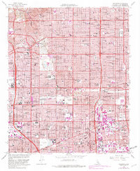
1950 Inglewood
Los Angeles County, CA
1952 Inglewood
Los Angeles County, CA
1964 Inglewood
Los Angeles County, CA
2012 Inglewood
Los Angeles County, CA
2015 Inglewood
Los Angeles County, CA
2018 Inglewood
Los Angeles County, CA
2021 Inglewood
Los Angeles County, CA