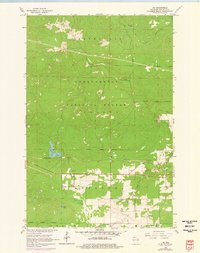
1964 Map of Ino
USGS Topo · Published 1976About this map
The settlement of Ino anchors this mid-century survey of the Northwoods, situated at the boundary between township Barksdale and Keystone. The landscape is dominated by the Chequamegon National Forest, where the Moquah Lookout Tower stands as a sentinel over the timber and glacial terrain. Transport and industry of the era are defined by the Northern Pacific line and the presence of an Ino (Sta), alongside several Gravel Pits and an Old Railroad Grade that speaks to earlier logging and transit patterns. Local community life is grounded in the presence of St Florian Ch and a nearby Cem, located just north of the expansive Ino Swamp. Significant water features like Summit Lake and Spider Lake punctuate the forest, while Fish Creek drains the southern territory toward the Delta boundary.
Find a feature on this map
23 named features on this map. Tap any name to fly to it.
Don’t see what you’re looking for? This feature index may not catch every label — zoom into the map to look around manually.
Map Details
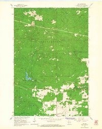
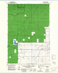
Editions of this 1964 Ino Map
3 editions found
Other maps of this area

1943 · Iron Lake
USGS Topo · 1:48,000

1944 · Moquah
USGS Topo · 1:48,000

1944 · Drummond
USGS Topo · 1:48,000

1944 · Grandview
USGS Topo · 1:48,000

1947 · Drummond
USGS Topo · 1:48,000

1947 · Moquah
USGS Topo · 1:48,000

1947 · Iron Lake
USGS Topo · 1:48,000

1947 · Grandview
USGS Topo · 1:48,000

1953 · Ashland
USGS Topo · 1:250,000

1958 · Ashland
USGS Topo · 1:250,000