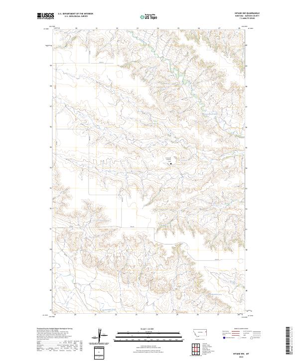
2024 Map of Intake NW
USGS Topo · Published 2024About this map
Immanuel Lutheran Cem stands as a solitary landmark of community heritage in this Dawson County landscape, where the high plains are deeply dissected by seasonal drainages. The topography is defined by the winding course of Burns Creek in the north and Thirteenmile Creek in the south, illustrating the drainage patterns that shaped local ranching and settlement. Unlike the more developed river valleys nearby, this area is characterized by a sparse network of section-line roads such as RD 527 and RD 532, which navigate the complex breaks and ridges. The presence of named water sources like the 20N55E25CAAA01 Spring highlights the critical importance of reliable water in this arid Montana environment, providing a essential point of reference for land use and survey history.
Find a feature on this map
16 named features on this map. Tap any name to fly to it.
Don’t see what you’re looking for? This feature index may not catch every label — zoom into the map to look around manually.
Map Details
Editions of this 2024 Intake NW Map
This is the sole edition of this map. No revisions or reprints were ever made.
Other maps of this area

1909 · Glendive
USGS Topo · 1:250,000

1954 · Glendive
USGS Topo · 1:250,000

1957 · Glendive
USGS Topo · 1:250,000

1958 · Glendive
USGS Topo · 1:250,000

1966 · Kolberg Ranch
USGS Topo · 1:24,000

1966 · Intake
USGS Topo · 1:24,000

1966 · Intake NW
USGS Topo · 1:24,000

1966 · Allard Ranch
USGS Topo · 1:24,000

1972 · Red Top
USGS Topo · 1:24,000

1972 · Butler Table
USGS Topo · 1:24,000