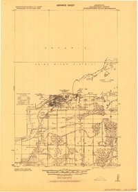
1919 Map of International Falls
USGS Topo · Published 1943About this map
International Falls and Fort Frances face one another across the Rainy River in this 1919 progressive military survey. The international border, marked here as the International Boundary, centers on a river system dominated by the paper and lumber industries that fueled the region's early 20th-century growth. Beyond the main settlements, the map reveals the planned extensions of South International Falls and the Liberty Addition, while further south, the landscape is defined by an extensive network of drainage projects like the Judicial Ditch.
Find a feature on this map
30 named features on this map. Tap any name to fly to it.
Don’t see what you’re looking for? This feature index may not catch every label — zoom into the map to look around manually.
Map Details
Editions of this 1919 International Falls Map
This is the sole edition of this map. No revisions or reprints were ever made.
Other maps of this area
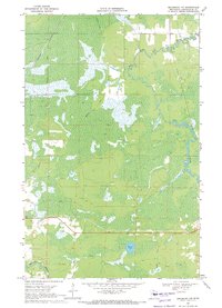
1919 · Pelland
USGS Topo · 1:62,500

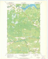
1919 · Happy Land
USGS Topo · 1:62,500

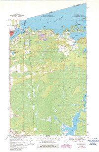
1954 · International Falls
USGS Topo · 1:250,000

1957 · International Falls
USGS Topo · 1:250,000

1958 · International Falls
USGS Topo · 1:250,000
1963 · Ranier
USGS Topo · 1:24,000
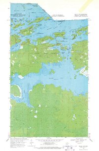
1969 · Island View
USGS Topo · 1:24,000
1969 · Ericsburg NW
USGS Topo · 1:24,000
1969 · Ericsburg
USGS Topo · 1:24,000
1969 · Ray
USGS Topo · 1:24,000