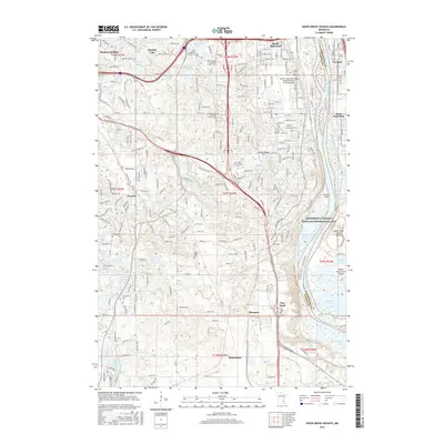
2016 Map of Inver Grove Heights
USGS Topo · Published 2016About this map
The Mississippi River corridor dominates the eastern landscape of this area, defining the border between Dakota and Washington counties. This riverine environment includes the backwaters of Mooers Lake and River Lake, alongside the prominent Upper Grey Cloud Island and Lower Grey Cloud Island. To the west, the terrain transitions into a developed suburban and industrial mosaic, where settlements like Wescott, Roseport, and Pine Bend are situated amidst a network of glacial lakes including Sunfish Lake, Schmidt Lake, and Marcott Lakes.
Find a feature on this map
59 named features on this map. Tap any name to fly to it.
Don’t see what you’re looking for? This feature index may not catch every label — zoom into the map to look around manually.
Map Details
Editions of this 2016 Inver Grove Heights Map
This is the sole edition of this map. No revisions or reprints were ever made.
Other maps of this area

1896 · St. Paul
USGS Topo · 1:62,500

1946 · Hudson
USGS Topo · 1:62,500

1949 · Hudson
USGS Topo · 1:62,500

1949 · Lake Elmo
USGS Topo · 1:24,000

1950 · Lake Elmo
USGS Topo · 1:24,000

1950 · St Paul Park
USGS Topo · 1:24,000

1951 · St Paul Park
USGS Topo · 1:24,000

1951 · St. Paul West
USGS Topo · 1:24,000

1951 · Inver Grove
USGS Topo · 1:24,000

1951 · St. Paul SW
USGS Topo · 1:24,000