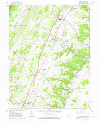
1966 Map of Inwood
USGS Topo · Published 1975About this map
Opequon Creek meanders through the eastern landscape of this 1966 survey, defining the boundary between Berkeley and Jefferson counties as it flows past Darkesville and Bunker Hill. This portion of the Shenandoah Valley reflects a deeply established agricultural and religious community, evidenced by numerous historic meeting sites such as Morgan Chapel, Le Fever Spring Ch, and the Hopewell Meetinghouse. The terrain transitions from the slopes of North Mtn in the west down toward the fertile creek bottoms, where numerous springs like Washington Spring and Whetzel Spring provided reliable water for early settlers.
Find a feature on this map
62 named features on this map. Tap any name to fly to it.
Don’t see what you’re looking for? This feature index may not catch every label — zoom into the map to look around manually.
Map Details
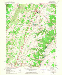
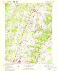
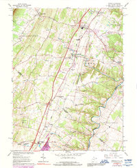
Editions of this 1966 Inwood Map
4 editions found
Other maps of this area

1884 · Harpers Ferry
USGS Topo · 1:125,000

1891 · Harpers Ferry
USGS Topo · 1:125,000

1893 · Harpers Ferry
USGS Topo · 1:125,000

1894 · Winchester
USGS Topo · 1:125,000

1914 · Martinsburg
USGS Topo · 1:48,000

1914 · Gerrardstown
USGS Topo · 1:48,000

1916 · Gerrardstown
USGS Topo · 1:62,500

1916 · Martinsburg
USGS Topo · 1:62,500

1916 · Berryville
USGS Topo · 1:62,500

1937 · Gerrardstown
USGS Topo · 1:48,000