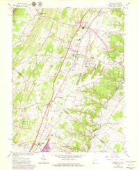
1966 Map of Inwood
USGS Topo · Published 1979About this map
Opequon Creek meanders along the eastern border of this mid-century survey, defining the valley landscape as it crosses the West Virginia and Virginia state line. The region is marked by an abundance of natural water sources, including Le Fevre Spring and Branson Spring, which supported early settlement patterns near Bunker Hill and Gerrardstown. Significant historical infrastructure is visible, most notably the path of the Old Braddock Road and the established route of the Conrail line.
Find a feature on this map
61 named features on this map. Tap any name to fly to it.
Don’t see what you’re looking for? This feature index may not catch every label — zoom into the map to look around manually.
Map Details
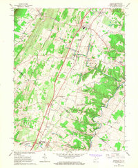
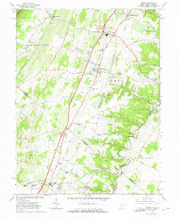
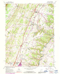
Editions of this 1966 Inwood Map
4 editions found
Other maps of this area

1884 · Harpers Ferry
USGS Topo · 1:125,000

1891 · Harpers Ferry
USGS Topo · 1:125,000

1893 · Harpers Ferry
USGS Topo · 1:125,000

1894 · Winchester
USGS Topo · 1:125,000

1914 · Martinsburg
USGS Topo · 1:48,000

1914 · Gerrardstown
USGS Topo · 1:48,000

1916 · Gerrardstown
USGS Topo · 1:62,500

1916 · Martinsburg
USGS Topo · 1:62,500

1916 · Berryville
USGS Topo · 1:62,500

1937 · Gerrardstown
USGS Topo · 1:48,000