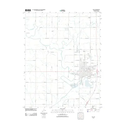
2012 Map of Iola
USGS Topo · Published 2012About this map
The Neosho River snakes through this Kansas landscape, anchoring the city of Iola and the smaller settlement of Carlyle. This 2012 survey illustrates the civic and academic infrastructure of the region, prominently featuring the Allen Community Coll campus and the expansive Allen County Fairgrounds. The local geography is defined by a dense network of tributaries including Coon Cr, Elm Cr, and Deer Cr, which feed into the primary river valley.
Find a feature on this map
86 named features on this map. Tap any name to fly to it.
Don’t see what you’re looking for? This feature index may not catch every label — zoom into the map to look around manually.
Map Details
Editions of this 2012 Iola Map
This is the sole edition of this map. No revisions or reprints were ever made.
Other maps of this area

1885 · Burlington
USGS Topo · 1:125,000

1885 · Garnett
USGS Topo · 1:125,000

1886 · Fredonia
USGS Topo · 1:125,000

1886 · Iola
USGS Topo · 1:125,000

1893 · Iola
USGS Topo · 1:125,000

1894 · Garnett
USGS Topo · 1:125,000

1894 · Fredonia
USGS Topo · 1:125,000

1894 · Burlington
USGS Topo · 1:125,000

1904 · Iola
USGS Topo · 1:125,000

1947 · Lawrence
USGS Topo · 1:250,000