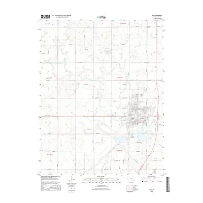
2015 Map of Iola
USGS Topo · Published 2015About this map
The Neosho River meanders across this landscape, defining the character of the river valley as it passes just west of Iola and Bassett. This area of Allen County shows a clear transition from the urban grid of the county seat to the surrounding agricultural prairie. The southern reaches of the map are anchored by Lake Bassett and the Allen County Airport, while the Southwind Rail Trail traces a linear path through the city and southward, repurposing a former transport corridor for modern use.
Find a feature on this map
68 named features on this map. Tap any name to fly to it.
Don’t see what you’re looking for? This feature index may not catch every label — zoom into the map to look around manually.
Map Details
Editions of this 2015 Iola Map
This is the sole edition of this map. No revisions or reprints were ever made.
Other maps of this area

1885 · Burlington
USGS Topo · 1:125,000

1885 · Garnett
USGS Topo · 1:125,000

1886 · Fredonia
USGS Topo · 1:125,000

1886 · Iola
USGS Topo · 1:125,000

1893 · Iola
USGS Topo · 1:125,000

1894 · Garnett
USGS Topo · 1:125,000

1894 · Fredonia
USGS Topo · 1:125,000

1894 · Burlington
USGS Topo · 1:125,000

1904 · Iola
USGS Topo · 1:125,000

1947 · Lawrence
USGS Topo · 1:250,000