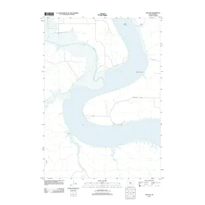
2012 Map of Iona NW
USGS Topo · Published 2012About this map
Lake Francis Case dominates this Missouri River landscape, where the confluence with the White River creates a wide expanse of water and braided sediment flats. This 2012 survey illustrates a region defined by extensive ranching operations along the high bluffs and river bottoms. Family-named sites like Glaus Ranch, Close Ranch, Krammer Ranch, and Ellis Ranch are scattered across the terrain, connected by rural routes such as 255th St and 256th St.
Find a feature on this map
16 named features on this map. Tap any name to fly to it.
Don’t see what you’re looking for? This feature index may not catch every label — zoom into the map to look around manually.
Map Details
Editions of this 2012 Iona NW Map
This is the sole edition of this map. No revisions or reprints were ever made.
Other maps of this area
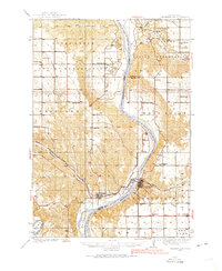
1935 · Chamberlain
USGS Topo · 1:62,500
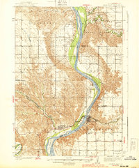
1939 · Chamberlain
USGS Topo · 1:62,500
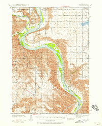
1940 · Iona
USGS Topo · 1:62,500
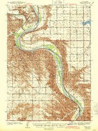
1944 · Iona
USGS Topo · 1:62,500
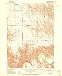
1952 · Reliance SE
USGS Topo · 1:24,000
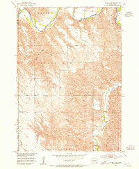
1952 · Hamill NE
USGS Topo · 1:24,000
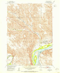
1952 · Oacoma
USGS Topo · 1:24,000
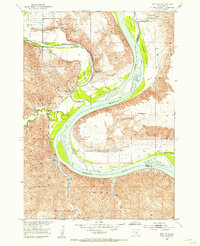
1952 · Iona NW
USGS Topo · 1:24,000
1955 · Mitchell
USGS Topo · 1:250,000
1959 · Mitchell
USGS Topo · 1:250,000