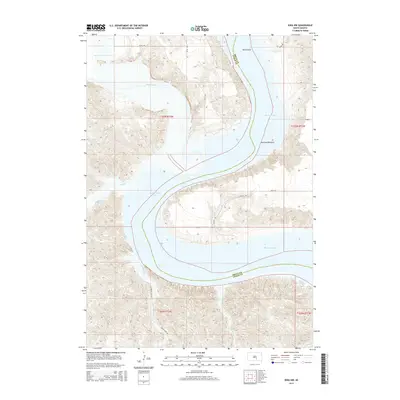
2015 Map of Iona NW
USGS Topo · Published 2015About this map
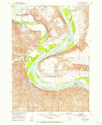
The Missouri River snakes through the heart of this landscape, forming a dramatic boundary between Brule and Lyman counties. This reach of the river includes the expansive Lake Francis Case, a prominent waterway that dominates the southern and western portions of the quadrangle. To the north, the confluence of the White River and the Missouri creates a complex system of islands and lowland terrain, most notably Bird Island. The topography is defined by the sharp transition from the elevated plains to the fertile Peterson Bottoms.
Find a feature on this map
21 named features on this map. Tap any name to fly to it.
Don’t see what you’re looking for? This feature index may not catch every label — zoom into the map to look around manually.
Map Details
Editions of this 2015 Iona NW Map
This is the sole edition of this map. No revisions or reprints were ever made.
Other maps of this area
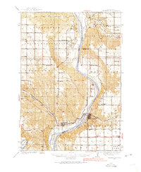
1935 · Chamberlain
USGS Topo · 1:62,500
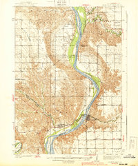
1939 · Chamberlain
USGS Topo · 1:62,500
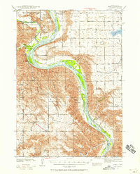
1940 · Iona
USGS Topo · 1:62,500
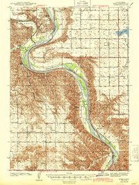
1944 · Iona
USGS Topo · 1:62,500
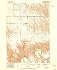
1952 · Reliance SE
USGS Topo · 1:24,000
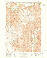
1952 · Hamill NE
USGS Topo · 1:24,000
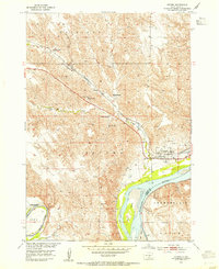
1952 · Oacoma
USGS Topo · 1:24,000
1952 · Iona NW
USGS Topo · 1:24,000
1955 · Mitchell
USGS Topo · 1:250,000
1959 · Mitchell
USGS Topo · 1:250,000