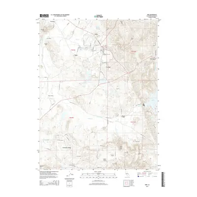
2015 Map of Ione
USGS Topo · Published 2015About this map
The town of Ione serves as the hub of this Amador County landscape, where the Sierra Nevada foothills meet the eastern edge of the Sacramento Valley. Historically rooted in the clay industry and agriculture, the area's development is marked by industrial sites like Firebrick and Clarsona. The map reveals a transition from traditional town centers to modern residential layouts in Camanche Village, while the surrounding terrain is defined by complex drainage systems such as Sutter Creek and Jackson Creek. Genealogists will find significant detail in the Ione Protestant-Community Cemetery and the Catholic Cemetery, both located on the outskirts of the main town. The eastern portion of the quadrangle is dominated by the waters of Lake Amador and the distinctive elevations of the Buena Vista Peaks, reflecting a landscape managed for both water resources and recreation.
Find a feature on this map
85 named features on this map. Tap any name to fly to it.
Don’t see what you’re looking for? This feature index may not catch every label — zoom into the map to look around manually.
Map Details
Editions of this 2015 Ione Map
This is the sole edition of this map. No revisions or reprints were ever made.
Other maps of this area
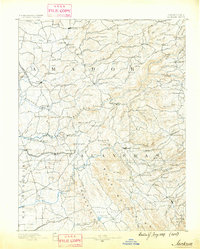
1889 · Jackson
USGS Topo · 1:125,000
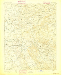
1892 · Jackson
USGS Topo · 1:125,000
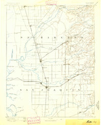
1894 · Lodi
USGS Topo · 1:125,000
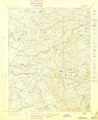
1897 · Jackson
USGS Topo · 1:125,000
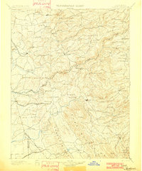
1902 · Jackson
USGS Topo · 1:125,000
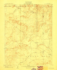
1909 · Carbondale
USGS Topo · 1:31,680
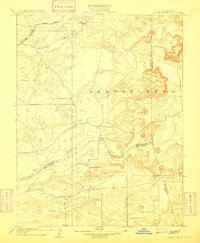
1909 · Goose Creek
USGS Topo · 1:31,680
1909 · Clements
USGS Topo · 1:31,680
1939 · Bellota
USGS Topo · 1:62,500
1941 · Sutter Creek
USGS Topo · 1:62,500