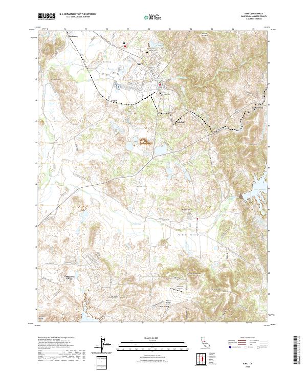
2022 Map of Ione
USGS Topo · Published 2022About this map
Ione anchors this landscape in the foothills of the Sierra Nevada, characterized by a complex network of historic water management and early industrial sites. The town sits at the junction of Sutter Cr and Mule Cr, surrounded by several significant burial grounds including the Preston School of Industry Cem and the Ione Catholic Cem. This region reflects a legacy of hydraulic engineering and transportation, visible in the path of the Amador Central RR and local waterways like the Ione Canal, Isaacs Ditch, and Kruth Ditch. South of town, the terrain rises toward the Buena Vista Peaks and The Chemisal, while modern developments like Camanche Village and Camanche Skypark appear near the southern reaches of Jackson Valley. Small settlements such as Sunnybrook, Firebrick, and Dagon dot the rail and road corridors, marking the area's agricultural and industrial history.
Find a feature on this map
115 named features on this map. Tap any name to fly to it.
Don’t see what you’re looking for? This feature index may not catch every label — zoom into the map to look around manually.
Map Details
Editions of this 2022 Ione Map
This is the sole edition of this map. No revisions or reprints were ever made.
Other maps of this area

1889 · Jackson
USGS Topo · 1:125,000

1892 · Jackson
USGS Topo · 1:125,000

1894 · Lodi
USGS Topo · 1:125,000

1897 · Jackson
USGS Topo · 1:125,000

1902 · Jackson
USGS Topo · 1:125,000

1909 · Carbondale
USGS Topo · 1:31,680

1909 · Goose Creek
USGS Topo · 1:31,680

1909 · Clements
USGS Topo · 1:31,680
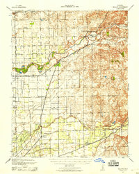
1939 · Bellota
USGS Topo · 1:62,500

1941 · Sutter Creek
USGS Topo · 1:62,500