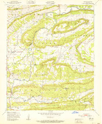
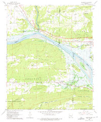
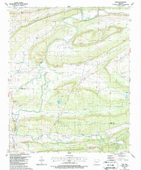
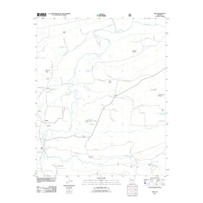
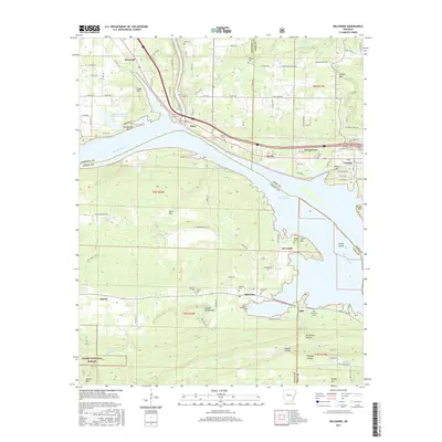
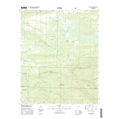
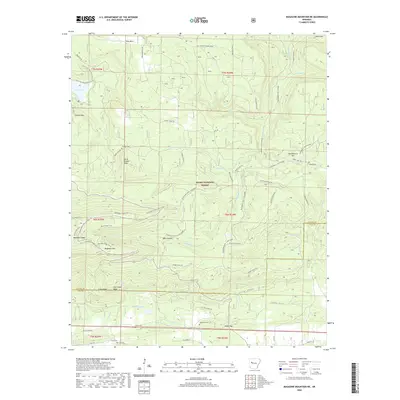
1951 Map of Ione
USGS Topo · Published 1951About this map
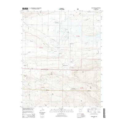
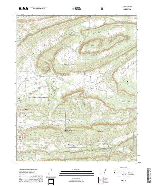
Petit Jean Creek meanders across the landscape of Logan and Scott Counties, defining the drainage patterns and valley settlements shown in this mid-century survey. The terrain is dominated by prominent ridges including Barber Ridge, Jennings Mountain, and Tomlinson Mountain, which constrain the agricultural lands and transportation routes of the era. The presence of the Chicago Rock Island and Pacific railroad in the northern section highlights the importance of rail connectivity for communities like Lucas. Local life is anchored by small rural centers such as Ione, Boothe, and Elm Park. Cultural landmarks that provide deep genealogical value include the French Prairie Cemetery, Pine Log Church, and the Earl Prairie District School No 66, while the southern portion of the map is preserved within the Ouachita National Forest.
Find a feature on this map
23 named features on this map. Tap any name to fly to it.
Don’t see what you’re looking for? This feature index may not catch every label — zoom into the map to look around manually.
Map Details
Editions of this 1951 Ione Map
2 editions found
Historical Maps of Ione Through Time
39 maps found

1879 Mountain Home
Logan County, AR

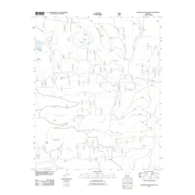
1887 Magazine Mountain #1
Logan County, AR

1887 Magazine Mountain #3
Logan County, AR

1887 Magazine Mountain #4
Logan County, AR

1887 Magazine Mountain
Logan County, AR
1890 Magazine Mountain
Logan County, AR
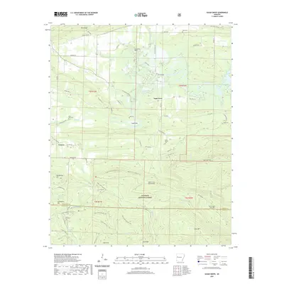
1947 Ione
Logan County, AR
1951 Ione
Logan County, AR
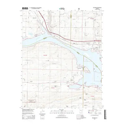
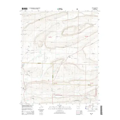
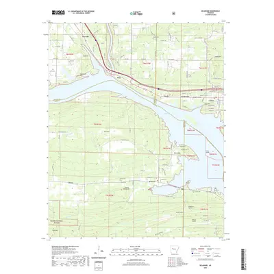
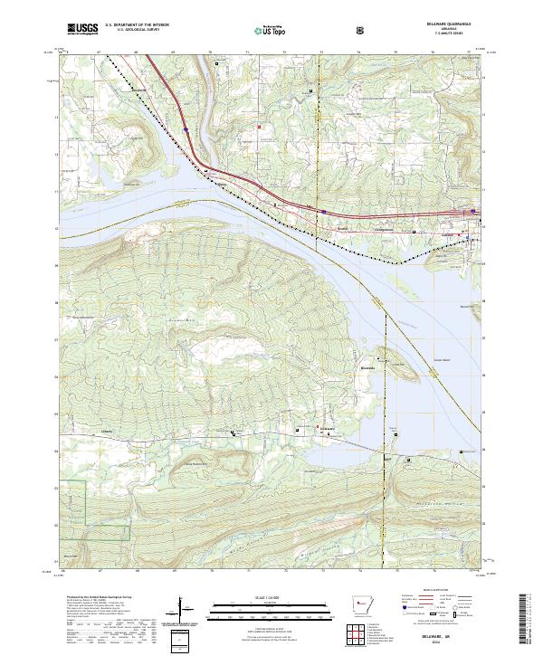
1962 Delaware
Logan County, AR
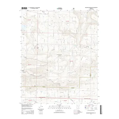
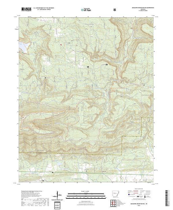
1966 Magazine Mountain NE
Logan County, AR
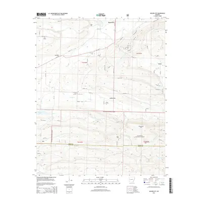
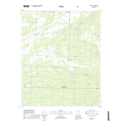
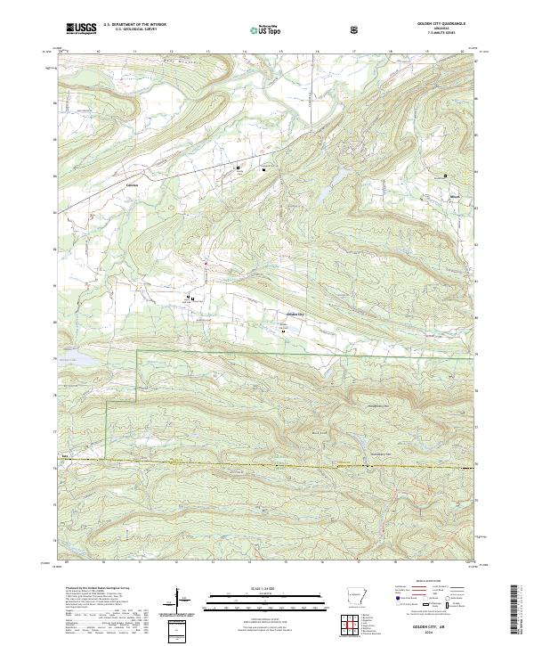
1983 Golden City
Logan County, AR
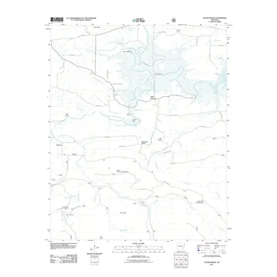
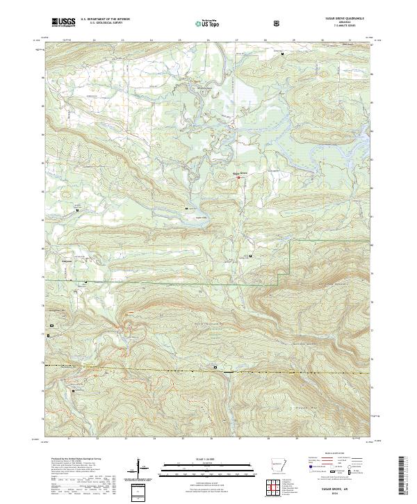
1983 Sugar Grove
Logan County, AR
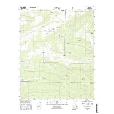
1987 Ione
Logan County, AR
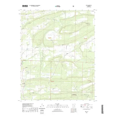
1993 Delaware
Logan County, AR
2011 Delaware
Logan County, AR
2011 Golden City
Logan County, AR
2011 Ione
Logan County, AR
2011 Magazine Mountain NE
Logan County, AR
2011 Sugar Grove
Logan County, AR
2014 Delaware
Logan County, AR
2014 Golden City
Logan County, AR
2014 Ione
Logan County, AR
2014 Magazine Mountain NE
Logan County, AR
2014 Sugar Grove
Logan County, AR
2017 Delaware
Logan County, AR
2017 Golden City
Logan County, AR
2017 Ione
Logan County, AR
2017 Magazine Mountain NE
Logan County, AR
2017 Sugar Grove
Logan County, AR
2020 Delaware
Logan County, AR
2020 Golden City
Logan County, AR
2020 Ione
Logan County, AR
2020 Magazine Mountain NE
Logan County, AR
2020 Sugar Grove
Logan County, AR
2024 Delaware
Logan County, AR
2024 Golden City
Logan County, AR
2024 Ione
Logan County, AR
2024 Magazine Mountain NE
Logan County, AR
2024 Sugar Grove
Logan County, AR