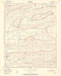
1951 Map of Ione
USGS Topo · Published 1951About this map
Petit Jean Creek meanders through this mid-century landscape, defining a valley bordered by significant elevations like Barber Ridge and Jennings Mountain. The settlement of Ione serves as a central point, while the Chicago Rock Island and Pacific RR cuts through the northern section, illustrating the importance of rail transit for these rural Arkansas communities. This survey reveals a deeply rooted local infrastructure, featuring social hubs like the Earl Prairie District School No 66 and multiple spiritual centers including Pine Log Church and Mt View Church. The southern portion of the map transitions into the protected lands of the Ouachita National Forest, where the terrain becomes more complex near Cauthron Mountain. Local history researchers will find value in the precise location of the French Prairie Cemetery and the various small settlements like Lucas and Boothe that dot the creek valleys.
Find a feature on this map
26 named features on this map. Tap any name to fly to it.
Don’t see what you’re looking for? This feature index may not catch every label — zoom into the map to look around manually.
Map Details
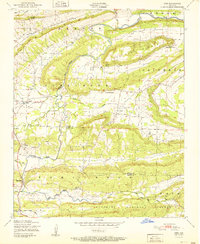
Editions of this 1951 Ione Map
2 editions found
Other maps of this area

1879 · Poteau Mountain
USGS Topo · 1:62,500

1887 · Poteau Mountain #1
USGS Topo · 1:62,500

1887 · Mount Ida #2
USGS Topo · 1:62,500

1887 · Magazine Mountain #3
USGS Topo · 1:62,500

1887 · Magazine Mountain
USGS Topo · 1:62,500

1890 · Magazine Mountain
USGS Topo · 1:125,000

1890 · Mount Ida
USGS Topo · 1:125,000

1890 · Fort Smith
USGS Topo · 1:125,000

1890 · Poteau Mountain
USGS Topo · 1:125,000

1899 · Poteau Mountain
USGS Topo · 1:125,000