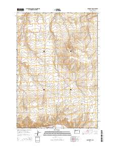
2014 Map of Ione North
USGS Topo · Published 2014About this map
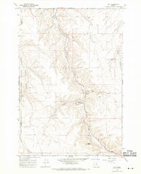
The town of Ione sits at the southern edge of this landscape, nestled at the confluence where Lorraine Cr meets Willow Cr. This 2014 survey documents the agricultural and topographical layout of Morrow County, dominated by a series of deep drainages including Fourmile Canyon, Sixmile Canyon, and Rietmann Canyon. High points like Ella Butte overlook a grid of section lines and rural roads that carry the names of local families, such as Dave Reitmann Rd and Stefani Rd. Genealogists and local historians will find the exact locations of Highview Cem and Petteys Cem, preserving the burial sites and land divisions of the community. The map also traces the path of Or-74 as it follows the creek valley, a vital transportation artery through this section of eastern Oregon.
Find a feature on this map
30 named features on this map. Tap any name to fly to it.
Don’t see what you’re looking for? This feature index may not catch every label — zoom into the map to look around manually.
Map Details
Editions of this 2014 Ione North Map
This is the sole edition of this map. No revisions or reprints were ever made.
Other maps of this area
1906 · Blalock Island
USGS Topo · 1:125,000
1908 · Blalock Island
USGS Topo · 1:125,000

1953 · Pendleton
USGS Topo · 1:250,000

1956 · Pendleton
USGS Topo · 1:250,000
1968 · Lexington
USGS Topo · 1:24,000
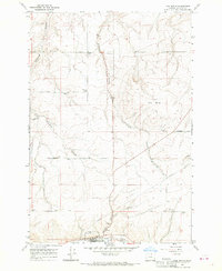
1968 · Ione North
USGS Topo · 1:24,000
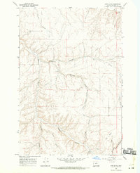
1968 · Utts Butte
USGS Topo · 1:24,000
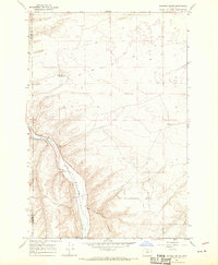
1968 · Dalreed Butte
USGS Topo · 1:24,000
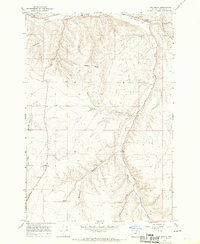
1968 · Ione South
USGS Topo · 1:24,000
1968 · Cecil
USGS Topo · 1:24,000