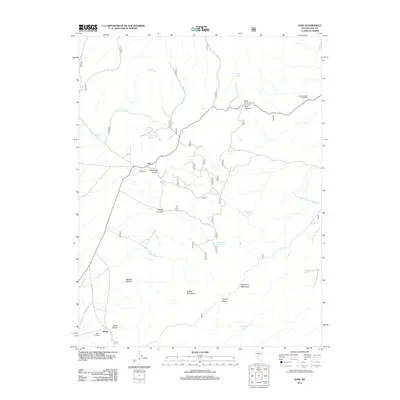
2011 Map of Ione
USGS Topo · Published 2011About this map
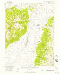
Ione and Berlin anchor this high-desert landscape in the Shoshone Mountains, where early settlement patterns are clearly marked by civil infrastructure. Genealogy researchers will find both the Ione Cemetery and Berlin Cemetery noted, alongside the Glen Hamilton Post Office at the edge of Ione Canyon. The terrain is defined by dramatic elevation changes, with routes winding through Union Pass and over Ione Summit. Water sources are critical points on this map, ranging from Bradley Spring to Knickerbocker Spring, which feed seasonal drainages like Sand Wash and Knickerbocker Wash. The proximity of Buffalo Mountain to Buffalo Canyon suggests a landscape where geographic names were influenced by both local wildlife and the mining-era pioneers who once inhabited these canyons.
Find a feature on this map
25 named features on this map. Tap any name to fly to it.
Don’t see what you’re looking for? This feature index may not catch every label — zoom into the map to look around manually.
Map Details
Editions of this 2011 Ione Map
This is the sole edition of this map. No revisions or reprints were ever made.
Other maps of this area

1907 · Tonopah
USGS Topo · 1:250,000

1908 · Tonopah
USGS Topo · 1:250,000
1948 · Ione
USGS Topo · 1:62,500
1950 · Ione
USGS Topo · 1:62,500

1955 · Millett
USGS Topo · 1:250,000
1956 · South Shoshone Peak
USGS Topo · 1:62,500
1956 · North Shoshone Peak
USGS Topo · 1:62,500

1956 · Tonopah
USGS Topo · 1:250,000

1959 · Tonopah
USGS Topo · 1:250,000

1959 · Millett
USGS Topo · 1:250,000