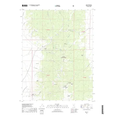
2018 Map of Ione
USGS Topo · Published 2018About this map
Ione and Berlin sit at the western edge of the Shoshone Mountains in this modern survey of central Nevada. The landscape is defined by its mining-era heritage and high-desert terrain, characterized by deep canyons such as Buffalo Canyon and Berlin Canyon. Historically significant sites for genealogists and local historians include the Ione Cem and Berlin Cem, which mark these long-established settlements. The map details a complex network of forest access routes like the Spanish Ranch Spur and the Idlewild Creek Bypass, many of which follow the natural contours of the Toiyabe National Forest. This remote section of Nye County is punctuated by vital water sources including Knickerbocker Spring and Ione Spring, which were essential for ranching and prospecting in the arid Shoshone range. Notable high points like Buffalo Mtn and Union Pass provide context for the steep topography that separated these historic camps.
Find a feature on this map
47 named features on this map. Tap any name to fly to it.
Don’t see what you’re looking for? This feature index may not catch every label — zoom into the map to look around manually.
Map Details
Editions of this 2018 Ione Map
This is the sole edition of this map. No revisions or reprints were ever made.
Other maps of this area

1907 · Tonopah
USGS Topo · 1:250,000

1908 · Tonopah
USGS Topo · 1:250,000
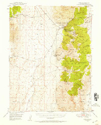
1948 · Ione
USGS Topo · 1:62,500
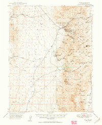
1950 · Ione
USGS Topo · 1:62,500

1955 · Millett
USGS Topo · 1:250,000
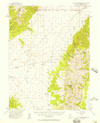
1956 · South Shoshone Peak
USGS Topo · 1:62,500
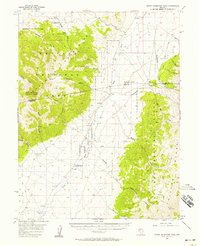
1956 · North Shoshone Peak
USGS Topo · 1:62,500

1956 · Tonopah
USGS Topo · 1:250,000

1959 · Tonopah
USGS Topo · 1:250,000

1959 · Millett
USGS Topo · 1:250,000