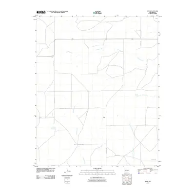
2010 Map of Ione
USGS Topo · Published 2010About this map
Ione and the surrounding high plains of Union County are defined by a network of drainage systems and isolated outposts in the early 21st century. The landscape is carved by the ephemeral flows of Bob Wells Creek and the branching reaches of Minneosa Creek, highlighting a region where water sources like Entrania Spring have historically dictated the placement of ranching headquarters.
Find a feature on this map
19 named features on this map. Tap any name to fly to it.
Don’t see what you’re looking for? This feature index may not catch every label — zoom into the map to look around manually.
Map Details
Editions of this 2010 Ione Map
This is the sole edition of this map. No revisions or reprints were ever made.
Other maps of this area

1954 · Tucumcari
USGS Topo · 1:250,000

1958 · Tucumcari
USGS Topo · 1:250,000

1966 · Rosebud
USGS Topo · 1:24,000

1966 · Ione
USGS Topo · 1:24,000

1966 · Hayden
USGS Topo · 1:24,000

1966 · Cherokee Valley
USGS Topo · 1:24,000

1966 · Cottonwood Springs
USGS Topo · 1:24,000

1966 · Mc Cloy Ranch
USGS Topo · 1:24,000

1971 · Kerlin Hill
USGS Topo · 1:24,000

1971 · Centerville Corner
USGS Topo · 1:24,000