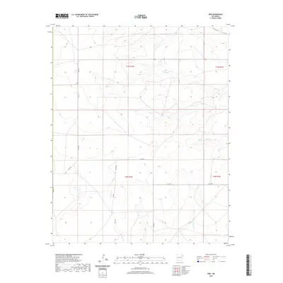
2020 Map of Ione
USGS Topo · Published 2020About this map
Ione serves as the primary landmark in this ranching landscape within Union County, New Mexico. The geography is defined by a series of intermittent drainage systems and ephemeral water sources that have long influenced cattle grazing and land use in the high plains. Water features such as Entrania Spring and the winding course of Bob Wells Cr provide essential relief in an otherwise arid environment. The map shows a clear organization of the land into townships and sections, including t19n r34e and t18n r34e. Local transportation is facilitated by a network of rural routes such as Ione Rd, Britt Rd, and Anglin Rd, which connect the isolated homesteads and grazing lands. The presence of Entrania Cr and Minneosa Cr further illustrates the complex drainage patterns that shape the local topography and resource distribution.
Find a feature on this map
21 named features on this map. Tap any name to fly to it.
Don’t see what you’re looking for? This feature index may not catch every label — zoom into the map to look around manually.
Map Details
Editions of this 2020 Ione Map
This is the sole edition of this map. No revisions or reprints were ever made.
Other maps of this area
1954 · Tucumcari
USGS Topo · 1:250,000
1958 · Tucumcari
USGS Topo · 1:250,000
1966 · Rosebud
USGS Topo · 1:24,000
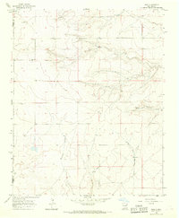
1966 · Ione
USGS Topo · 1:24,000
1966 · Hayden
USGS Topo · 1:24,000
1966 · Cherokee Valley
USGS Topo · 1:24,000
1966 · Cottonwood Springs
USGS Topo · 1:24,000
1966 · Mc Cloy Ranch
USGS Topo · 1:24,000
1971 · Kerlin Hill
USGS Topo · 1:24,000
1971 · Centerville Corner
USGS Topo · 1:24,000