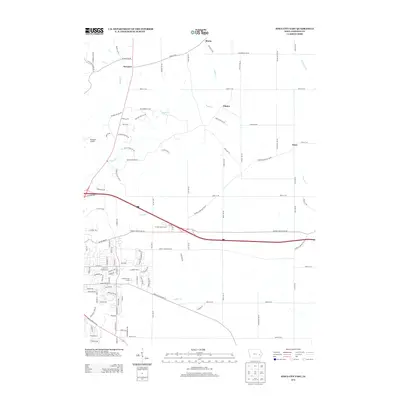
2013 Map of Iowa City East
USGS Topo · Published 2013About this map
Small agricultural settlements like Morse and Elmira define the rural landscape east of the growing urban center. This 2013 survey illustrates the transition from traditional Iowa farmland to suburban expansion, with family-named roads such as Dingleberry Rd NE and Buchmeyer Bnd NE intersecting the rolling terrain. The map captures the course of Rapid Cr and Sanders Cr as they drain toward the Iowa River basin, providing a record of the area's hydrology before further development. Local recreation and aviation are marked by the presence of Fairview Golf Course, Hi Point Golf Course, and the small Picayune Airport. Cultural and community hubs like Oasis and Newport remain distinct markers along the established corridors of Herbert Hoover Hwy SE and N Dubuque Rd, documenting the enduring footprint of these unincorporated communities within Johnson County.
Find a feature on this map
78 named features on this map. Tap any name to fly to it.
Don’t see what you’re looking for? This feature index may not catch every label — zoom into the map to look around manually.
Map Details
Editions of this 2013 Iowa City East Map
This is the sole edition of this map. No revisions or reprints were ever made.
Other maps of this area

1887 · Cedar Rapids
USGS Topo · 1:62,500

1891 · Mechanicsville
USGS Topo · 1:62,500

1891 · Cedar Rapids
USGS Topo · 1:62,500

1891 · Iowa City
USGS Topo · 1:62,500

1894 · Mechanicsville
USGS Topo · 1:62,500

1894 · West Liberty
USGS Topo · 1:62,500

1901 · Stanwood
USGS Topo · 1:125,000

1903 · Fairfax
USGS Topo · 1:125,000

1938 · Iowa City
USGS Topo · 1:62,500

1958 · Davenport
USGS Topo · 1:250,000