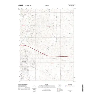
2018 Map of Iowa City East
USGS Topo · Published 2018About this map
Iowa City expansion meets the rural landscape of Johnson County in this 2018 survey, where the city's eastern residential fringes transition into a grid of agricultural townships. Several small, distinct settlements are scattered across the higher ground between creek valleys, including Morse, Newport, and Elmira. The map is particularly dense with sites of interest for local historians and genealogists, featuring a high concentration of burial grounds such as Memory Gardens Cem, Saint Marys Cem, and Brick Chapel Cem.
Find a feature on this map
114 named features on this map. Tap any name to fly to it.
Don’t see what you’re looking for? This feature index may not catch every label — zoom into the map to look around manually.
Map Details
Editions of this 2018 Iowa City East Map
This is the sole edition of this map. No revisions or reprints were ever made.
Other maps of this area

1887 · Cedar Rapids
USGS Topo · 1:62,500

1891 · Mechanicsville
USGS Topo · 1:62,500

1891 · Cedar Rapids
USGS Topo · 1:62,500

1891 · Iowa City
USGS Topo · 1:62,500

1894 · Mechanicsville
USGS Topo · 1:62,500

1894 · West Liberty
USGS Topo · 1:62,500

1901 · Stanwood
USGS Topo · 1:125,000

1903 · Fairfax
USGS Topo · 1:125,000

1938 · Iowa City
USGS Topo · 1:62,500

1958 · Davenport
USGS Topo · 1:250,000