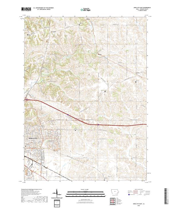
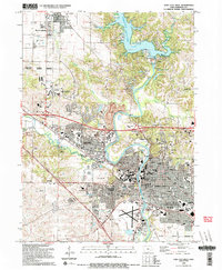
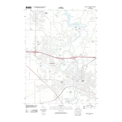
2022 Map of Iowa City East
USGS Topo · Published 2022About this map
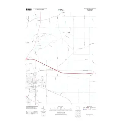
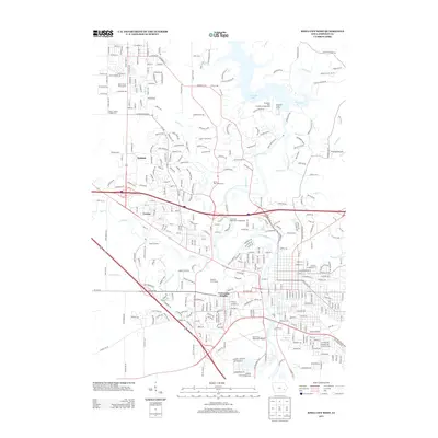
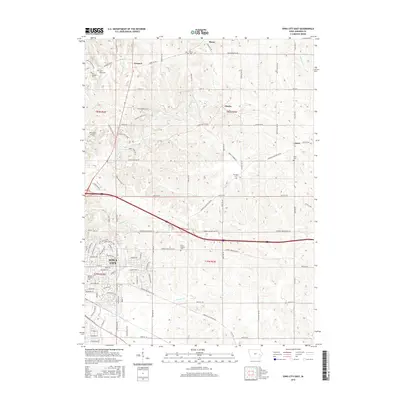
The rolling hills of eastern Johnson County unfold across this 2022 survey, where the suburban expansion of Iowa City meets the rural agricultural landscape. The northeastern portion of the city is characterized by residential development along Rochester Ave and the modern course of Ralston Cr. Beyond the city limits, the terrain is defined by a network of creeks, including Rapid Cr and Snyder Cr, which cut through the landscape toward the Iowa River.
Find a feature on this map
102 named features on this map. Tap any name to fly to it.
Don’t see what you’re looking for? This feature index may not catch every label — zoom into the map to look around manually.
Map Details
Editions of this 2022 Iowa City East Map
This is the sole edition of this map. No revisions or reprints were ever made.
Historical Maps of Iowa City Through Time
27 maps found
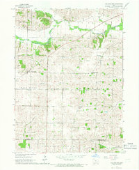
1965 Iowa City East
Johnson County, IA
1965 Iowa City West
Johnson County, IA
1965 West Liberty SW
Johnson County, IA
1965 Williamstown
Johnson County, IA
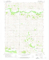
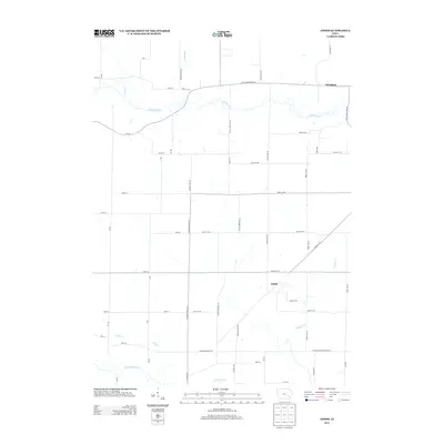
1973 Amish
Johnson County, IA

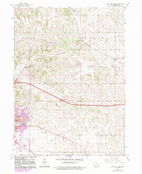
1993 Iowa City East
Johnson County, IA
1994 Iowa City West
Johnson County, IA
2010 Amish
Johnson County, IA
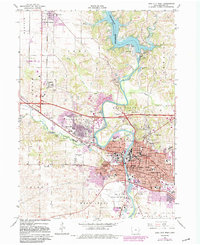
2010 Iowa City East
Johnson County, IA
2010 Iowa City West
Johnson County, IA
2010 West Liberty SW
Johnson County, IA
2013 Amish
Johnson County, IA
2013 Iowa City East
Johnson County, IA
2013 Iowa City West
Johnson County, IA
2013 West Liberty SW
Johnson County, IA
2015 Amish
Johnson County, IA
2015 Iowa City East
Johnson County, IA
2015 Iowa City West
Johnson County, IA
2015 West Liberty SW
Johnson County, IA
2018 Amish
Johnson County, IA
2018 Iowa City East
Johnson County, IA
2018 Iowa City West
Johnson County, IA
2018 West Liberty SW
Johnson County, IA
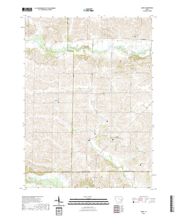
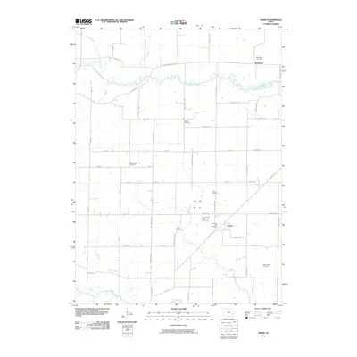
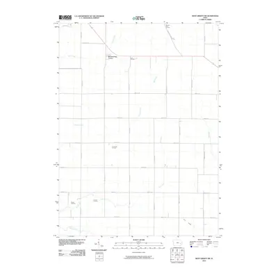
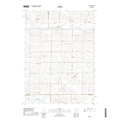
2022 Amish
Johnson County, IA
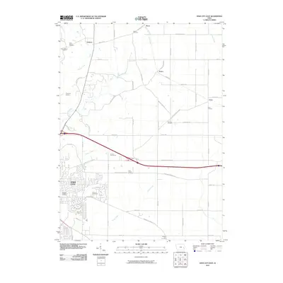
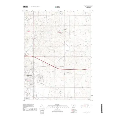
2022 Iowa City East
Johnson County, IA
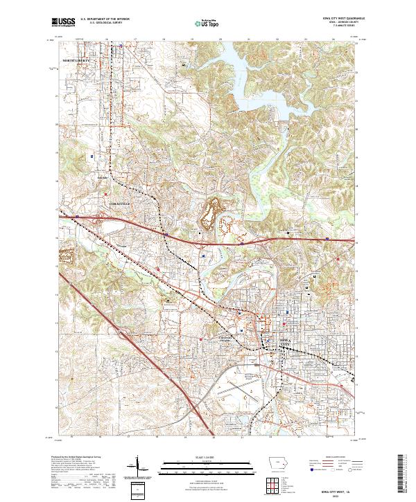
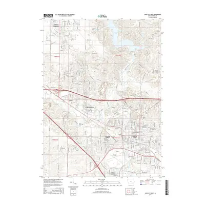
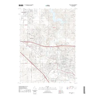
2022 Iowa City West
Johnson County, IA
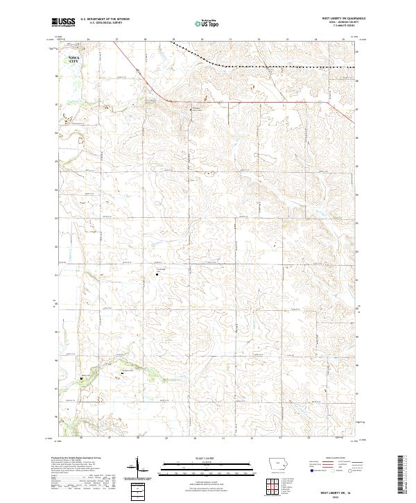
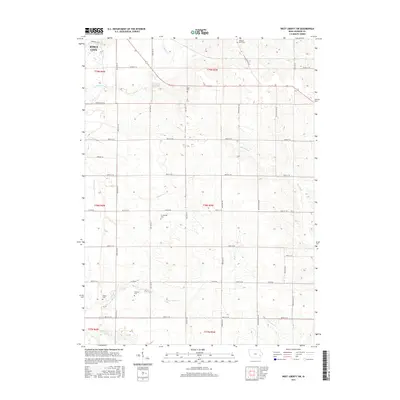
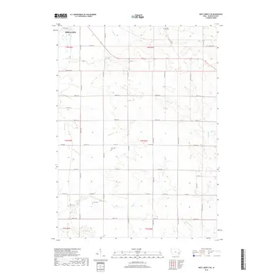
2022 West Liberty SW
Johnson County, IA